
 EE
Not accessible
EE
Not accessible
Trail Map
Il tracciato completo con i punti di interesse. Puoi cambiare il tipo di mappa dal comando in alto a destra e attivare rifugi, fontane e parcheggi dal pannello a sinistra.
Elevation Profile
Description
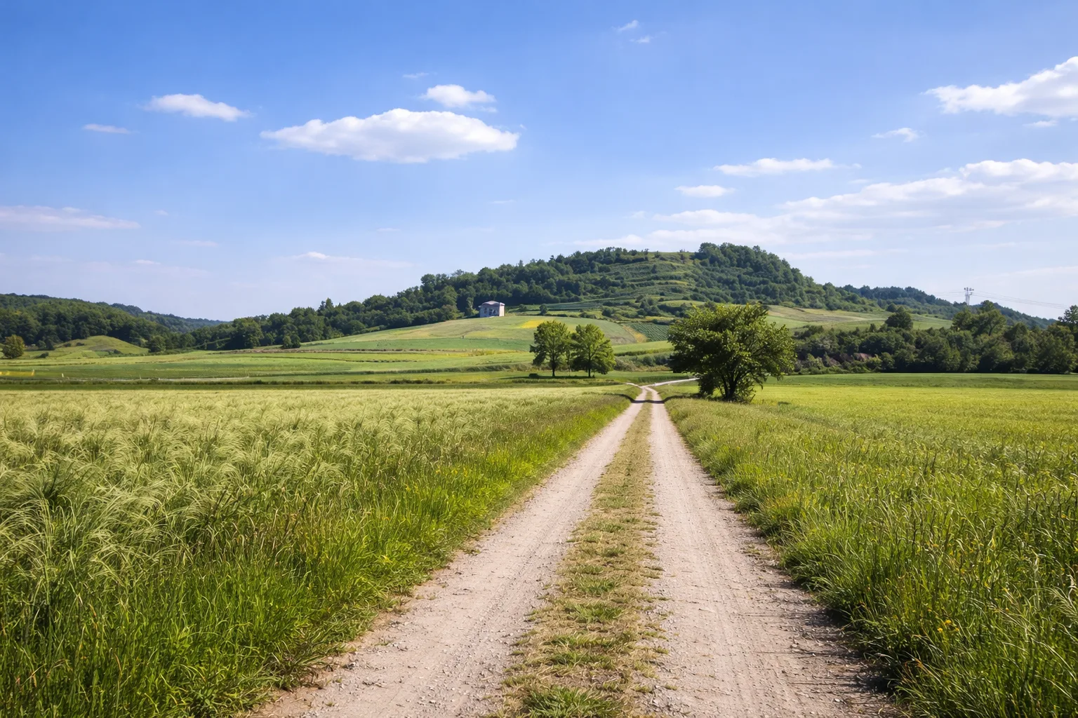
Trail 206 passes through the territory of Camerana, a village in the Bormida Valley near Cuneo, at an elevation of 450 meters, climbing the ridges separating the Bormida and Uzzone valleys. The trail enters dense oak and hornbeam forests, where the undergrowth produces porcini mushrooms, sought after by local foragers between September and November. Camerana is associated with the partisan Nuto Revelli, who served in these hills during the Resistance and described them in his diaries. The ridges offer expansive views of the southern Langhe all the way to the sea, visible on days with a northerly breeze when the dry air reveals the Ligurian coastline. The area preserves 17th- and 18th-century votive pillars made of carved sandstone, located at the crossroads of mule tracks that once connected the valley's villages. The clayey ground becomes slippery after rain. From April to November; avoid the days following heavy rainfall due to the risk of mud in the wooded sections.
Gallery
Navigate with QR Code
Scan with your smartphone to start guided navigation directly on the trail.
Trail QR Code
Frame the QR code to open the full navigation

Partenza
Km 0.00
Accessibility for People with Disabilities
Percorso lungo con forte dislivello
Il livello di accessibilità è dichiarato dall'ente che gestisce il percorso. Se trovi una difformità, segnalacela: la correggiamo insieme al Comune.
High boots, poles, 2L water, technical jacket, first aid kit, headlamp, map and compass
For additional information, contact the local tourist office or the reference shelter for the trail.
44,42177, 8,15326

