
 T
T
Trail Map
Il tracciato completo con i punti di interesse. Puoi cambiare il tipo di mappa dal comando in alto a destra e attivare rifugi, fontane e parcheggi dal pannello a sinistra.
Elevation Profile
Description
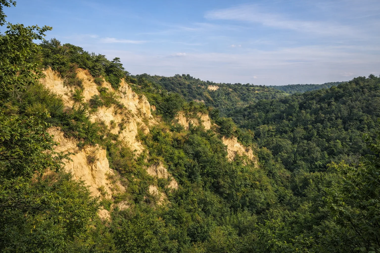
Trail 401B is a short route connecting Canale, the center of the Roero at 285 meters, to the surrounding hills dotted with vineyards and orchards. Canale is known for its cultivation of the Canale peach, a native white-fleshed variety protected by the Slow Food Presidium, which ripens in late July, turning the rows of vines along the trail pink. The village preserves its medieval civic tower and the palace of the Malabaila counts, with its 15th-century porticoed courtyard. The sandy soil of the Roero, visible in the cuts along the trail, is composed of yellow Astian sands deposited by the Pliocene sea approximately 3 million years ago—the same sediments that create the spectacular 'rocche' typical of the area. In autumn, the Arneis and Favorita vineyards take on golden hues that contrast with the dark green of the downy oak forests. Accessible year-round; ideal at sunset when the grazing light enhances the colors of the sands.
Gallery
Navigate with QR Code
Scan with your smartphone to start guided navigation directly on the trail.
Trail QR Code
Frame the QR code to open the full navigation

Partenza
Km 0.00
Comfortable shoes, 0.5-1L water, route map
For additional information, contact the local tourist office or the reference shelter for the trail.
44,81658, 7,98063

