
 E
Not accessible
E
Not accessible
Trail Map
Il tracciato completo con i punti di interesse. Puoi cambiare il tipo di mappa dal comando in alto a destra e attivare rifugi, fontane e parcheggi dal pannello a sinistra.
Elevation Profile
Description
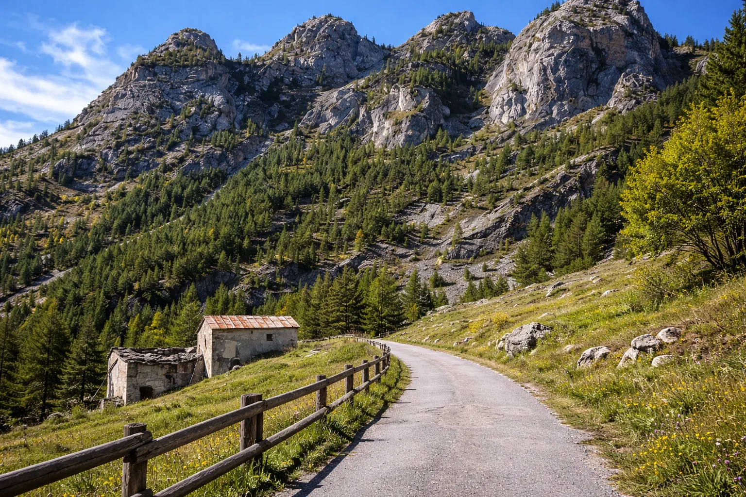
Trail S36B climbs steeply above Canosio, a tiny town of about 70 inhabitants in the upper Maira Valley at an altitude of 1,280 meters. The route begins in the center of the village, where the church of San Lorenzo preserves a cycle of late-Gothic frescoes from the 15th century attributed to Hans Clemer, the "Master of Elva," one of the most important itinerant painters of the Occitan valleys. The trail gains almost 400 meters in less than two kilometers through a larch forest, with the intense scent of resin in the summer months. Canosio is among the last strongholds of the Alpine Occitan language, still spoken by the village's elders, with lexical variants specific to the Maira Valley. From the highest points, views open up across the head of the valley, with the peaks of Monte Chambeyron and Rocca la Meja. From May to October; the steepness requires footwear with good grip, even for the short distance.
Gallery
Navigate with QR Code
Scan with your smartphone to start guided navigation directly on the trail.
Trail QR Code
Frame the QR code to open the full navigation

Partenza
Km 0.00
Accessibility for People with Disabilities
Sentiero ripido con forte pendenza
Il livello di accessibilità è dichiarato dall'ente che gestisce il percorso. Se trovi una difformità, segnalacela: la correggiamo insieme al Comune.
Hiking boots, telescopic poles, 1.5L water, windbreaker, energy snacks, map
For additional information, contact the local tourist office or the reference shelter for the trail.
44,39092, 7,07701

