
 EE
Not accessible
EE
Not accessible
Trail Map
Il tracciato completo con i punti di interesse. Puoi cambiare il tipo di mappa dal comando in alto a destra e attivare rifugi, fontane e parcheggi dal pannello a sinistra.
Elevation Profile
Description
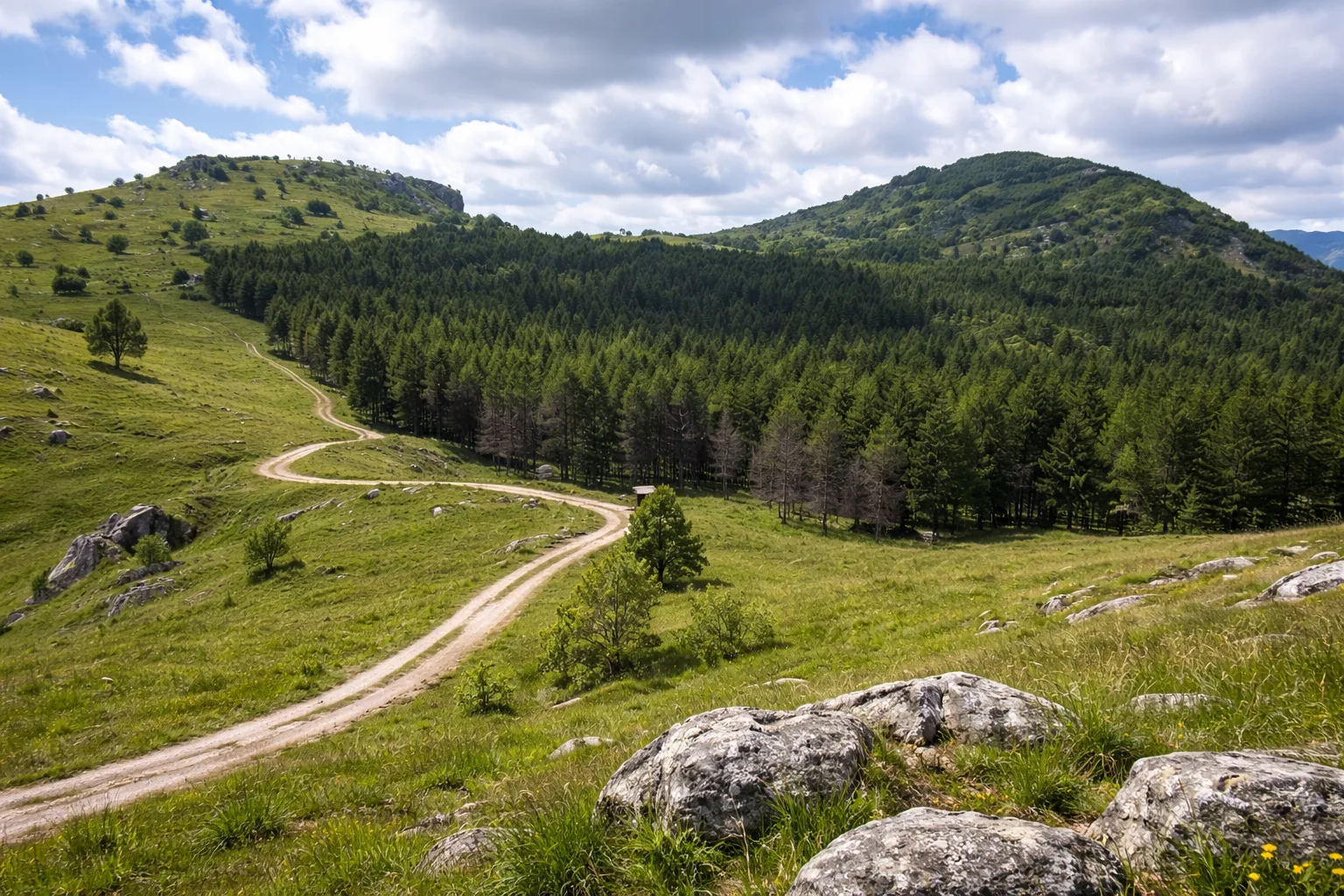
The route from the Prale Pass to Colle San Bartolomeo crosses the divide between the Ligurian Alps and the Maritime Alps, touching the territory of Caprauna—a village at 981 meters in the Pennavaire Valley. The trail follows the border ridge between the provinces of Cuneo and Savona, along a scenic ridge alternating between summit meadows and centuries-old beech forests. The area is within the Ligurian Alps Special Protection Area, home to the Apennine wolf, which has returned naturally to these lands since the 1990s. Caprauna takes its name from the wild goats that once populated the limestone cliffs of Pennavaire, and the village retains its local gray stone architecture with Ligurian slate roofs. From the highest points, you can simultaneously see the snow-capped mountains to the north and the Ligurian Sea to the south. Only for experienced and fit hikers, from June to October; the route is long and has no intermediate rest points.
Gallery
Navigate with QR Code
Scan with your smartphone to start guided navigation directly on the trail.
Trail QR Code
Frame the QR code to open the full navigation

Partenza
Km 0.00
Accessibility for People with Disabilities
Percorso lungo e impegnativo su cresta di montagna
Il livello di accessibilità è dichiarato dall'ente che gestisce il percorso. Se trovi una difformità, segnalacela: la correggiamo insieme al Comune.
High boots, poles, 2L water, technical jacket, first aid kit, headlamp, map and compass
For additional information, contact the local tourist office or the reference shelter for the trail.
44,13219, 7,93496

