
 T
T
Trail Map
Il tracciato completo con i punti di interesse. Puoi cambiare il tipo di mappa dal comando in alto a destra e attivare rifugi, fontane e parcheggi dal pannello a sinistra.
Elevation Profile
Description
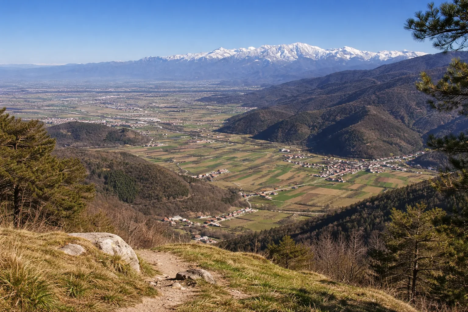
Trail R45A is a flat route near Caraglio, a village 575 meters above sea level at the mouth of the Grana Valley, known for the production of Castelmagno DOP—one of Piedmont's oldest and most prized cheeses, documented in a deed of the Marchioness of Saluzzo dating back to 1277. The route follows country lanes through irrigated meadows and rows of mulberry trees, a remnant of the silkworm farming that was the valley floor's main economic activity until the 19th century. Caraglio preserves the Filatoio Rosso, a hydraulic silk mill dating back to 1676, designed by Galleani and now a museum, considered the oldest multi-story silk factory in Europe. The route offers a constant view of Bisalta (2,404 m), which completes the southwest horizon with its unmistakable double-peaked silhouette. Suitable for everyone and accessible year-round; on winter mornings, the frost on the meadows creates a landscape of crystals in the sun.
Gallery
Navigate with QR Code
Scan with your smartphone to start guided navigation directly on the trail.
Trail QR Code
Frame the QR code to open the full navigation

Partenza
Km 0.00
Comfortable shoes, 0.5-1L water, route map
For additional information, contact the local tourist office or the reference shelter for the trail.
44,42415, 7,42542

