
 E
E
Trail Map
Il tracciato completo con i punti di interesse. Puoi cambiare il tipo di mappa dal comando in alto a destra e attivare rifugi, fontane e parcheggi dal pannello a sinistra.
Elevation Profile
Description
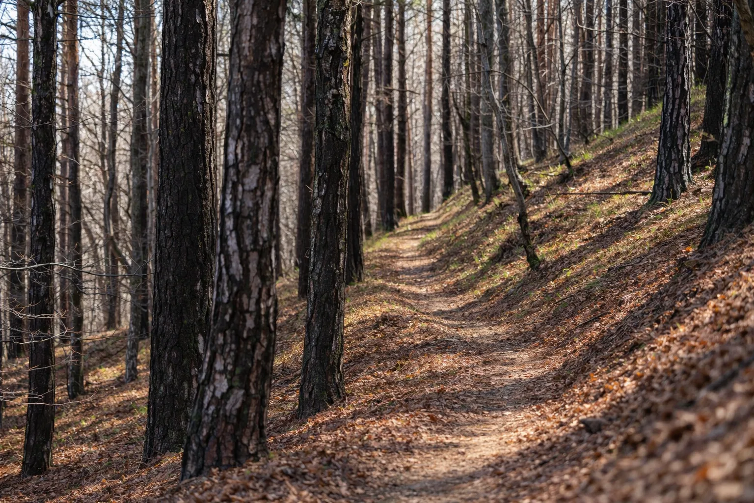
Trail T37 ascends the wooded slopes of the Maira Valley near Cartignano, a small village perched on the rock overlooking the confluence of two Alpine streams. The route passes through centuries-old chestnut and beech forests, gradually ascending along ancient paths used by mountaineers to reach their summer pastures. The elevation gain of over seven hundred meters offers increasingly expansive views of the valley below and the surrounding peaks, including the striking profile of Pelvo d'Elva. The presence of abandoned villages along the way testifies to the history of a once densely populated mountain. A challenging but rewarding route, it is recommended to tackle it in the shoulder seasons, when the colors of the forest make the landscape unforgettable.
Gallery
Navigate with QR Code
Scan with your smartphone to start guided navigation directly on the trail.
Trail QR Code
Frame the QR code to open the full navigation

Partenza
Km 0.00
Hiking boots, poles, backpack with 2L water, windbreaker, energy snacks
For additional information, contact the local tourist office or the reference shelter for the trail.
44,50260, 7,30316

