
 T
Part. accessible
T
Part. accessible
Trail Map
Il tracciato completo con i punti di interesse. Puoi cambiare il tipo di mappa dal comando in alto a destra e attivare rifugi, fontane e parcheggi dal pannello a sinistra.
Elevation Profile
Description
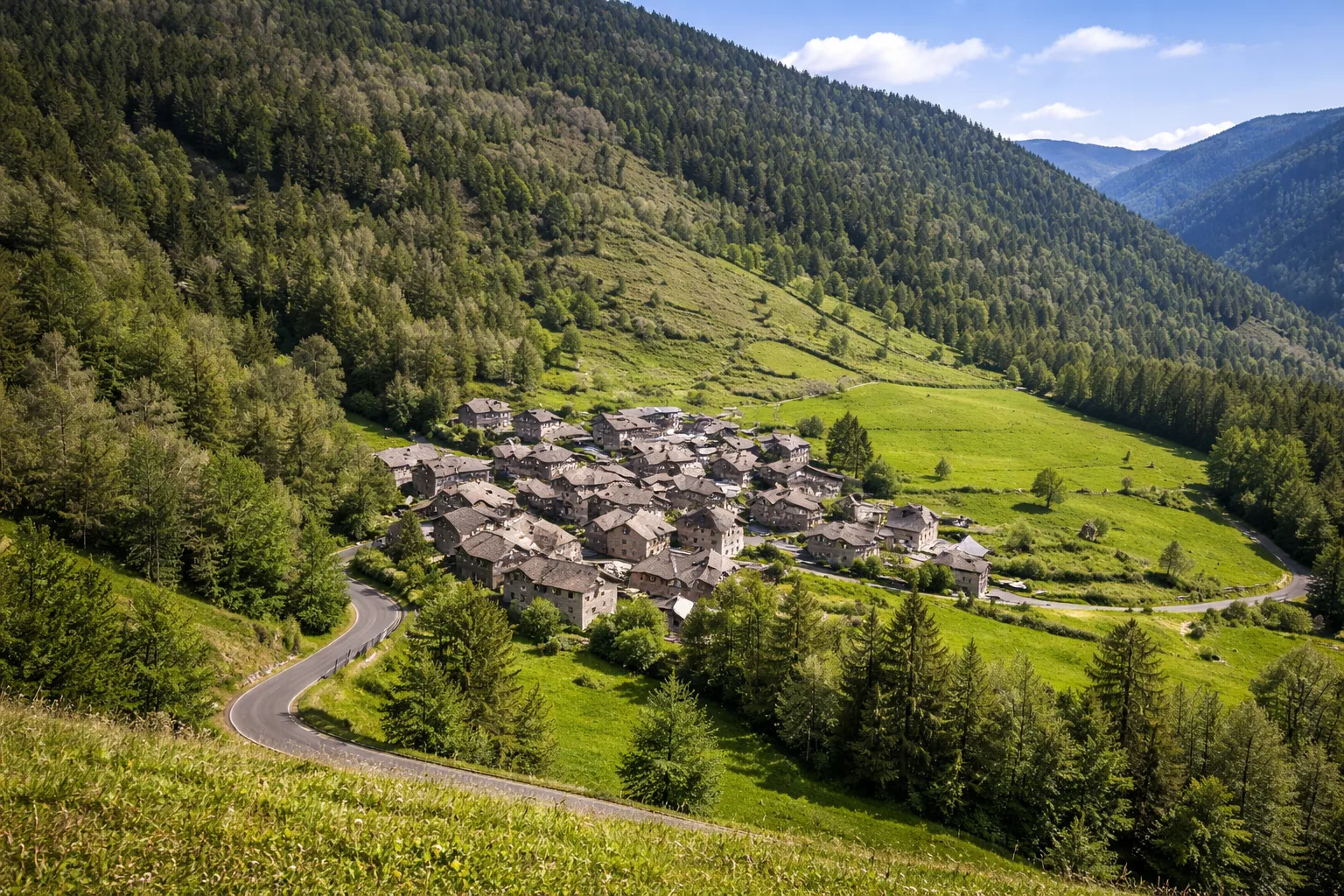
Trail U47A is a short itinerary that winds around Casteldelfino, an ancient Occitan village in the Varaita Valley nestled between imposing mountains. The route allows you to discover the village's architectural features, with its stone houses with slate roofs, sculpted fountains, and communal ovens that tell the story of centuries of Alpine life. Climbing slightly above the village, you reach panoramic viewpoints overlooking the Varaita Valley and the peaks marking the border with France. The shortness of the route makes it ideal for families and those seeking an immersion in Piedmontese Occitan culture without excessive physical exertion. We recommend combining the walk with a visit to the village parish church.
Gallery
Navigate with QR Code
Scan with your smartphone to start guided navigation directly on the trail.
Trail QR Code
Frame the QR code to open the full navigation

Partenza
Km 0.00
Accessibility for People with Disabilities
Percorso su strade e sentieri del borgo, alcuni tratti acciottolati
Il livello di accessibilità è dichiarato dall'ente che gestisce il percorso. Se trovi una difformità, segnalacela: la correggiamo insieme al Comune.
Comfortable walking shoes, 0.5L water, camera
For additional information, contact the local tourist office or the reference shelter for the trail.
44,59134, 7,10393

