
 T
Part. accessible
T
Part. accessible
Trail Map
Il tracciato completo con i punti di interesse. Puoi cambiare il tipo di mappa dal comando in alto a destra e attivare rifugi, fontane e parcheggi dal pannello a sinistra.
Elevation Profile
Description
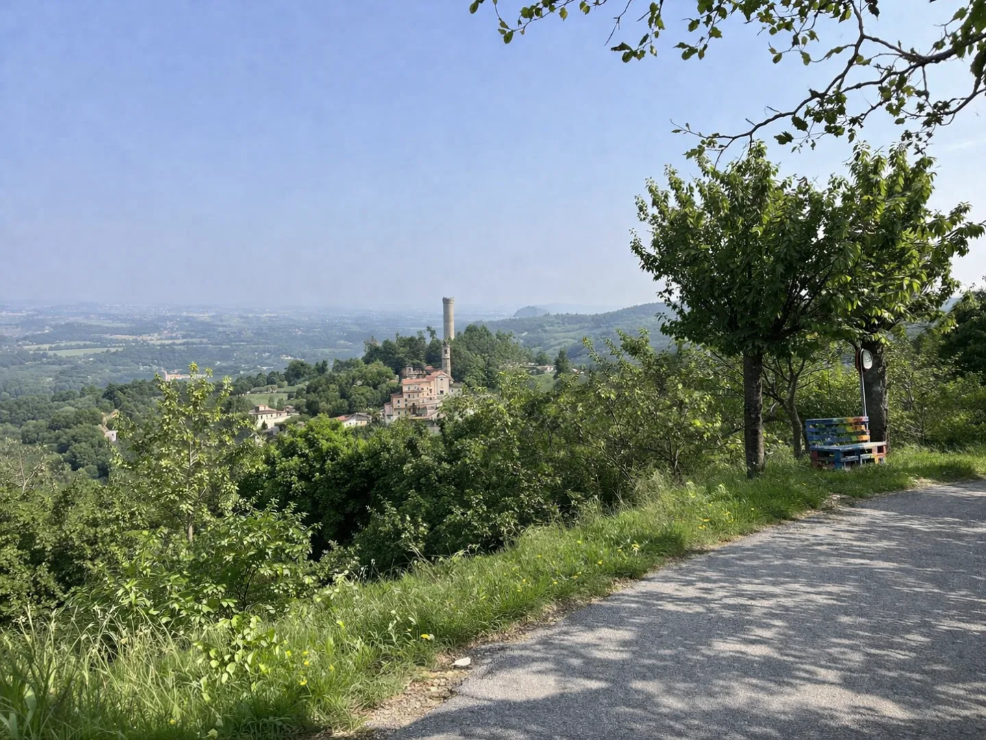
Trail B01A explores the hills of the Alta Langa around Castellino Tanaro, a medieval village perched on a promontory overlooking the Tanaro Valley. The route winds through oak and hazelnut forests, crossing a hilly landscape characterized by clayey gullies and scenic clearings. The area is famous for its production of Tonda Gentile delle Langhe hazelnuts, whose hazelnut groves provide shade along the way. Along the way, you'll encounter votive shrines and country chapels, testament to the deep religious tradition of these lands. This short itinerary is suitable for everyone, perfect for a half-day immersed in the tranquility of the Alta Langa.
Gallery
Navigate with QR Code
Scan with your smartphone to start guided navigation directly on the trail.
Trail QR Code
Frame the QR code to open the full navigation

Partenza
Km 0.00
Accessibility for People with Disabilities
Alcuni tratti su sentiero sterrato non adatto a carrozzine
Il livello di accessibilità è dichiarato dall'ente che gestisce il percorso. Se trovi una difformità, segnalacela: la correggiamo insieme al Comune.
Lightweight hiking shoes, poles recommended, 1.5L water, sunscreen
For additional information, contact the local tourist office or the reference shelter for the trail.
44,43508, 7,99525

