
 E
E
Trail Map
Il tracciato completo con i punti di interesse. Puoi cambiare il tipo di mappa dal comando in alto a destra e attivare rifugi, fontane e parcheggi dal pannello a sinistra.
Elevation Profile
Description
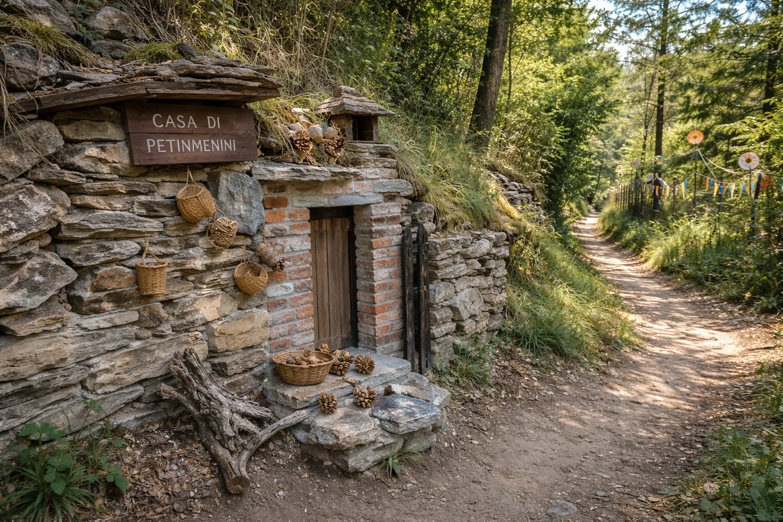
The Petin Menin trail ascends steeply up the hillside above Cervasca, a small town at the gateway to the Stura Valley, a few kilometers from Cuneo. Despite the shortness of the route, the concentrated elevation gain of over four hundred meters makes for an intense hike through chestnut groves and clearings that open onto views of the Cuneo plain with the Maritime Alps in the background. The trail's name recalls a local historical figure linked to the farming traditions of the hilltop villages that dotted these slopes until after World War II. Along the way, you'll encounter dry stone walls and stone votive pillars that mark the ancient paths between the hamlets. The trail surface is mostly dirt, with sections of rocky outcrops that require appropriate footwear. It's recommended to hike during spring and autumn, when moderate temperatures make the climb more pleasant.
Gallery
Navigate with QR Code
Scan with your smartphone to start guided navigation directly on the trail.
Trail QR Code
Frame the QR code to open the full navigation

Partenza
Km 0.00
Hiking boots, telescopic poles, 1.5L water, windbreaker, energy snacks
For additional information, contact the local tourist office or the reference shelter for the trail.
44,36262, 7,46145

