
 T
Part. accessible
T
Part. accessible
Trail Map
Il tracciato completo con i punti di interesse. Puoi cambiare il tipo di mappa dal comando in alto a destra e attivare rifugi, fontane e parcheggi dal pannello a sinistra.
Elevation Profile
Description
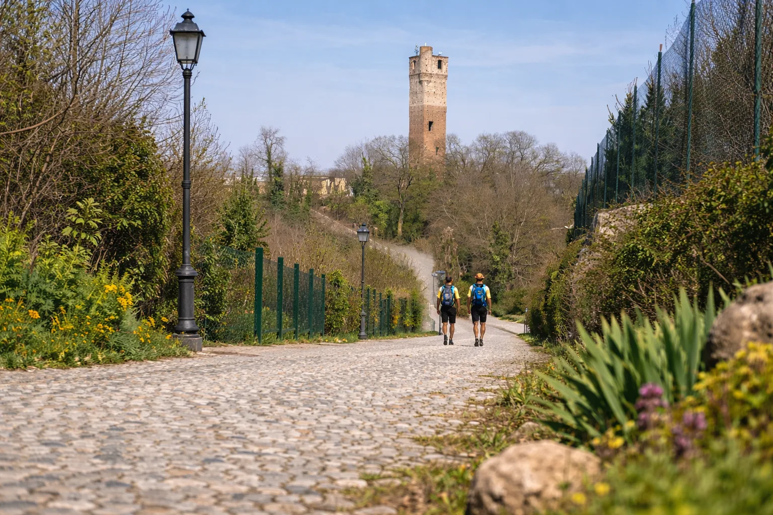
The Anello di Cervere (Cervere Ring) winds around the village known throughout the province for its cultivation of the Cervere leek, a Slow Food Presidium whose roots are planted in the alluvial soil of the Stura River. The circular route traverses the flat countryside and the first rolling hills, passing through apple and pear orchards, grain fields, and historic vegetable gardens where this celebrated winter vegetable is grown. From the historic center, dominated by the 13th-century medieval bell tower, the route follows farm roads and dirt tracks connecting the area's traditional farmhouses. The scenic stretches offer views of Monviso to the west and the Langhe hills to the southeast. An ideal route for families, it's best visited in November during the Leek Fair, when the village comes alive with stalls and tastings.
Gallery
Navigate with QR Code
Scan with your smartphone to start guided navigation directly on the trail.
Trail QR Code
Frame the QR code to open the full navigation

Partenza
Km 0.00
Accessibility for People with Disabilities
Prevalentemente su strade sterrate pianeggianti, alcuni tratti su sentiero
Il livello di accessibilità è dichiarato dall'ente che gestisce il percorso. Se trovi una difformità, segnalacela: la correggiamo insieme al Comune.
Lightweight hiking shoes, hat, 1L water, sunscreen, snacks
For additional information, contact the local tourist office or the reference shelter for the trail.
44,63485, 7,79089

