
 E
E
Trail Map
Il tracciato completo con i punti di interesse. Puoi cambiare il tipo di mappa dal comando in alto a destra e attivare rifugi, fontane e parcheggi dal pannello a sinistra.
Elevation Profile
Description
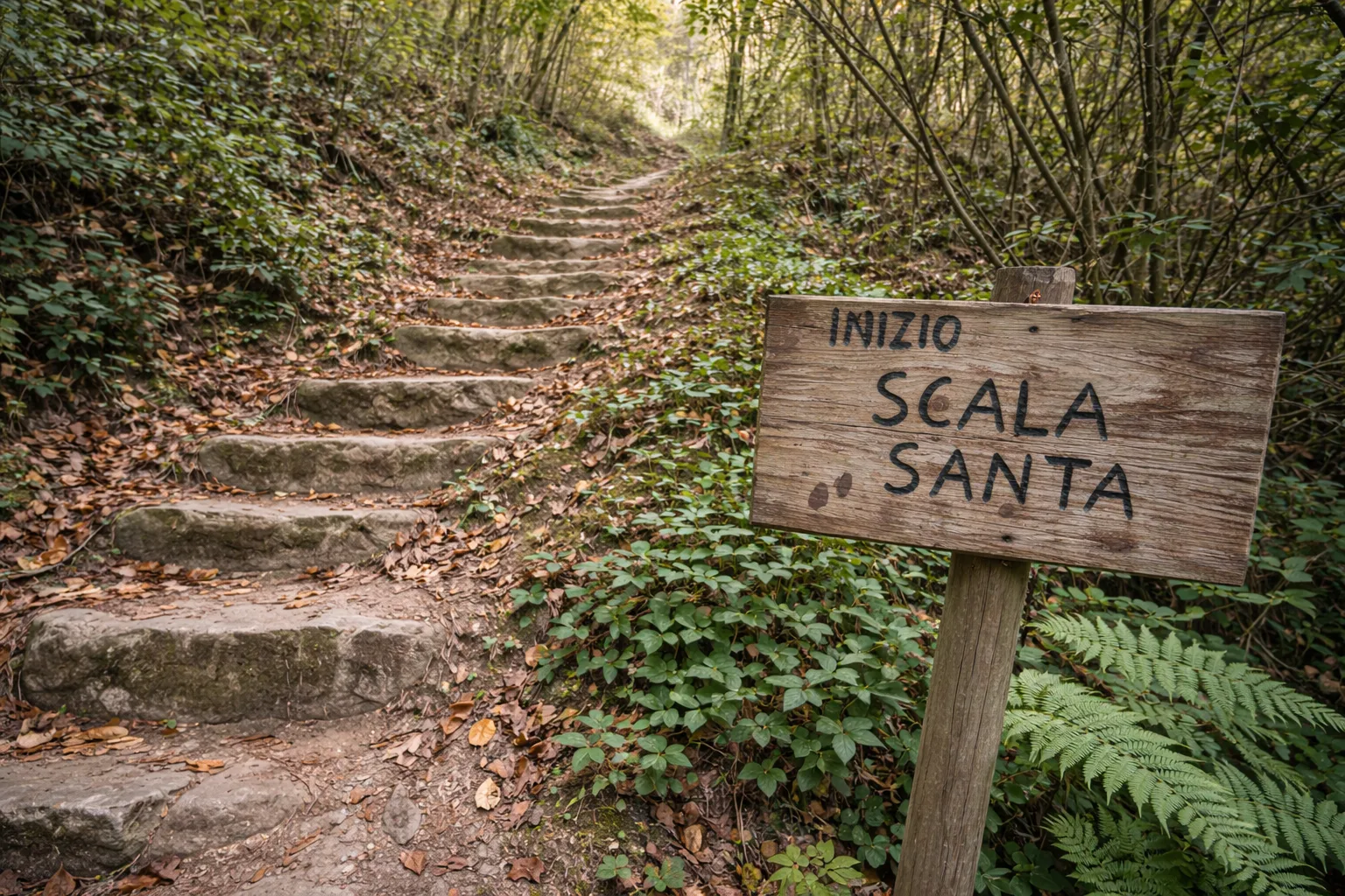
The Holy Stairs Trail climbs the steep hillsides above Cossano Belbo, a village in the Alta Langa that was the birthplace of Cesare Pavese, one of the greatest Italian writers of the 20th century. The trail takes its name from the devotional steps leading to the votive chapel at the top of the hill, a place of pilgrimage frequented by the local community since the 17th century. The route winds through chestnut and hazelnut groves, crossing terraced vineyards that testify to the centuries-old viticulture of these lands. The elevation gain concentrated in just a few kilometers offers rapid changes in perspective, with views ranging from the Belbo Valley to the peaks of the Ligurian Alps on clear days. On the return journey, you pass through the historic center, where you can visit Pavese's birthplace. This challenging route is recommended for spring and autumn to avoid the summer heat.
Gallery
Navigate with QR Code
Scan with your smartphone to start guided navigation directly on the trail.
Trail QR Code
Frame the QR code to open the full navigation

Partenza
Km 0.00
Hiking boots, telescopic poles, 1.5L water, windbreaker, energy snacks
For additional information, contact the local tourist office or the reference shelter for the trail.
44,66841, 8,21280

