
 EE
EE
Trail Map
Il tracciato completo con i punti di interesse. Puoi cambiare il tipo di mappa dal comando in alto a destra e attivare rifugi, fontane e parcheggi dal pannello a sinistra.
Elevation Profile
Description
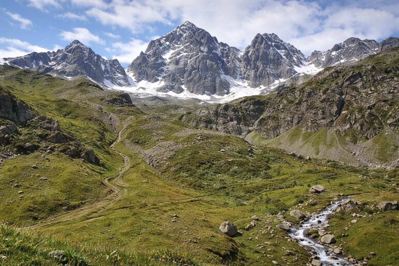
Stage D46 of the Via Alpina Blue passes through the Crissolo area at the foot of Monviso, the stone pyramid that, at 3,841 meters, dominates the skyline of the Cottian Alps and was the first major Alpine peak to be climbed in 1861. The route winds through the upper Po Valley, touching Pian del Re, where Italy's longest river rises at 2,020 meters, and traversing Alpine environments of rare beauty, including glacial moraines, high-altitude lakes, and high-mountain meadows where gentians and edelweiss bloom. The cumulative elevation gain of over 3,000 meters makes this stage suitable for highly trained hikers and requires careful planning, possibly splitting it over two days. The Quintino Sella and Giacoletti refuges offer rest stops along the route. It is recommended only in July and August when the residual snowfields are passable.
Gallery
Navigate with QR Code
Scan with your smartphone to start guided navigation directly on the trail.
Trail QR Code
Frame the QR code to open the full navigation

Partenza
Km 0.00
Mountain boots, poles, equipped backpack, 2L water, layered clothing, first aid kit, headlamp, map and compass
For additional information, contact the local tourist office or the reference shelter for the trail.
44,71208, 7,06527

