Install TRAILGO
Quick Free Access
No Subscription
No Subscription
Scansiona per aprire
il percorso sul telefono
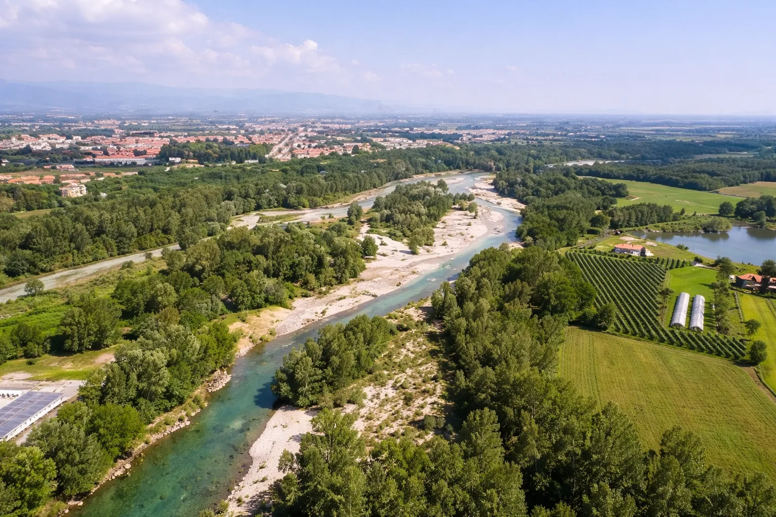
The Confluenza route runs along the banks of the Stura and Gesso rivers, where they join to form the plateau on which the city of Cuneo stands. Founded in 1198 on this natural wedge-shaped promontory, which gave it its name, the city was named after it. The route follows the cycle and pedestrian paths that run alongside both rivers, crossing tree-lined urban parks, wetlands frequented by gray herons and kingfishers, and passing under the historic bridges that connect the city center to the surrounding plain. The Ponte Vecchio over the Gesso, rebuilt several times after floods, and the Soleri viaduct are two of the architectural highlights along the route. The flat terrain and predominantly asphalt or dirt surface make this urban loop accessible to all. Accessible in any season, it is particularly pleasant on autumn mornings when fog shrouds the waterways.
Trail QR Code
Scan with your smartphone to start guided navigation directly on the trail.
Frame the QR code to open the full navigation
Access the interactive trail navigation with GPS map, points of interest and real-time tracking.
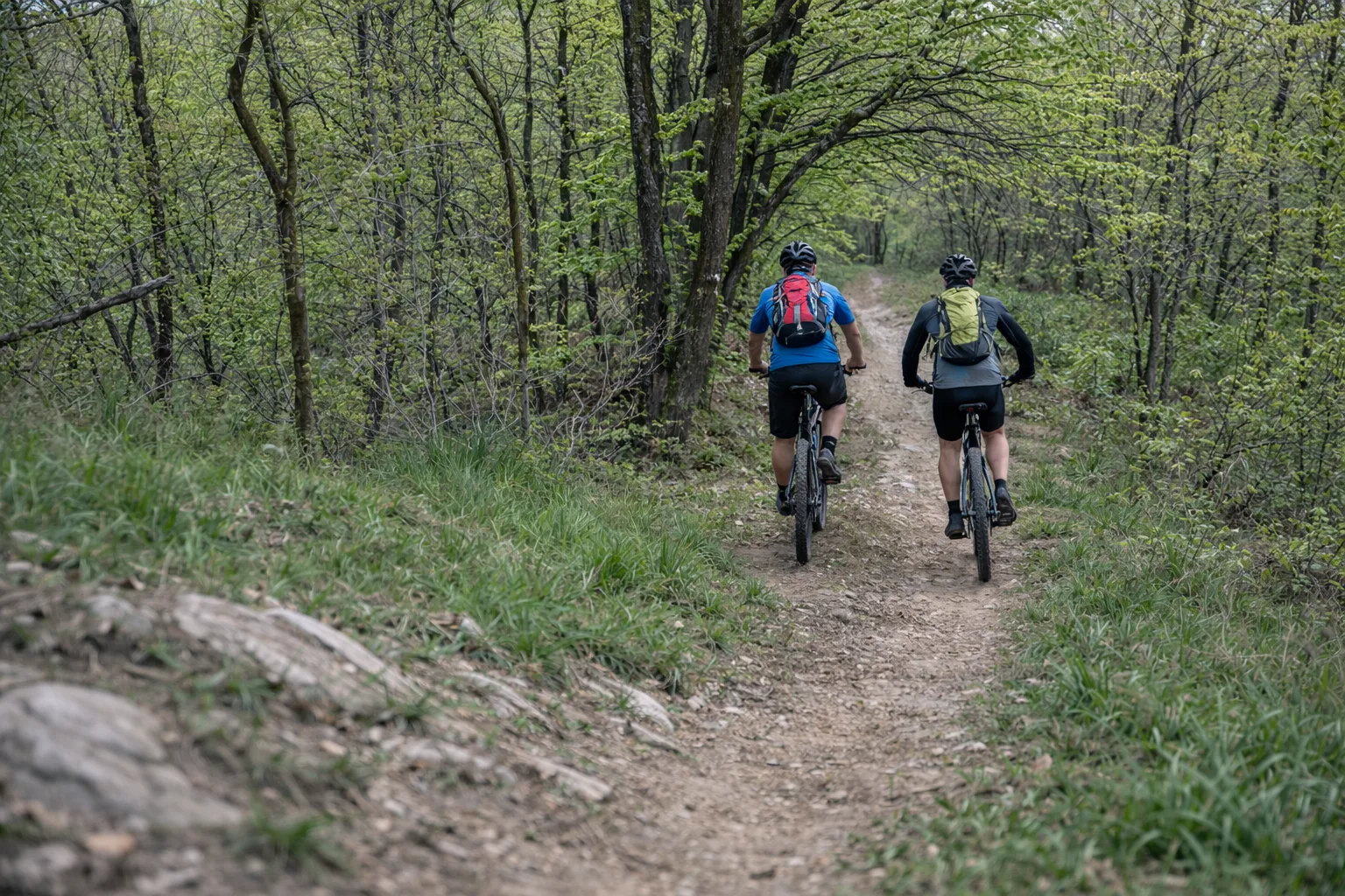
Open Interactive NavigationPercorso prevalentemente pianeggiante su piste ciclopedonali, alcuni tratti sterrati
Comfortable shoes, 0.5L water, route map
Useful Contacts: For additional information, contact the local tourist office or the reference shelter for the trail.