
 EE
EE
Trail Map
Il tracciato completo con i punti di interesse. Puoi cambiare il tipo di mappa dal comando in alto a destra e attivare rifugi, fontane e parcheggi dal pannello a sinistra.
Elevation Profile
Description
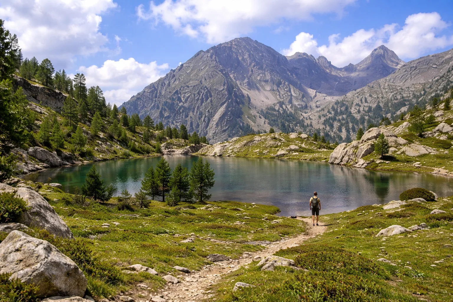
The Fenestre Circuit is a high-altitude circular route in the heart of the Maritime Alps Natural Park, straddling the French-Italian border with the Mercantour National Park. The route begins in the Entracque area and traverses a succession of passes and glacial lakes nestled between gneiss and granite walls rising above 2,500 meters. The cumulative elevation gain of over 1,700 meters requires physical preparation and adequate equipment to tackle exposed sections and possible residual snowfields, even in midsummer. Along the route, you may spot ibex, chamois, and the majestic golden eagle that nests on the area's rock faces. The summer blooms of gentian, nigritella, and edelweiss transform the high-altitude meadows into natural gardens. It is recommended to hike exclusively between July and September, starting at dawn to complete the circuit during daylight hours.
Gallery
Navigate with QR Code
Scan with your smartphone to start guided navigation directly on the trail.
Trail QR Code
Frame the QR code to open the full navigation

Partenza
Km 0.00
Mountain boots, poles, equipped backpack, 2L water, layered clothing, first aid kit, headlamp, map and compass
For additional information, contact the local tourist office or the reference shelter for the trail.
44,10147, 7,35985

