
Colle San Bernardo di Garessio - Colle Scravaion
Garessio (CN) · Piemonte
 EE
EE
Trail Map
Il tracciato completo con i punti di interesse. Puoi cambiare il tipo di mappa dal comando in alto a destra e attivare rifugi, fontane e parcheggi dal pannello a sinistra.
Elevation Profile
Description
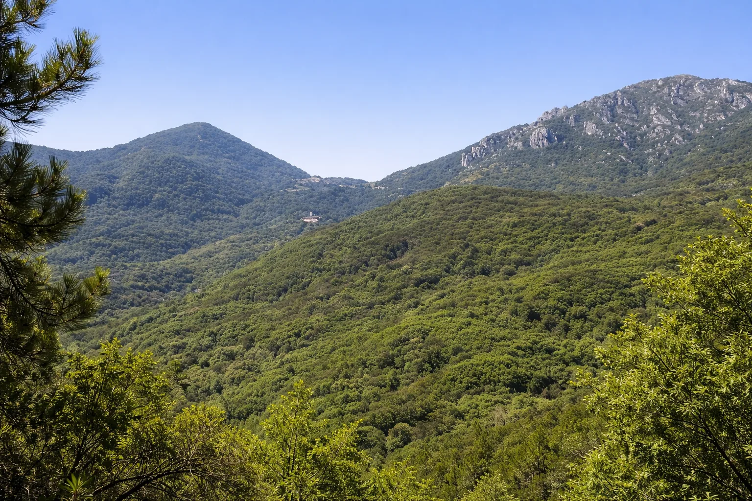
The trail from Colle San Bernardo di Garessio to Colle Scravaion crosses the ridge of the Ligurian Alps that marks the border between Piedmont and Liguria, offering a high-altitude route with views spanning from the Po Valley to the Ligurian Sea. The route follows the Apennine-Alpine ridge at altitudes between 800 and 1,400 meters, passing through centuries-old beech forests, summit meadows, and exposed ridge sections where on clear days the outline of Corsica can be seen. Garessio, an ancient spa town known for its mineral waters since the 19th century, is the ideal starting point with its services and historic funicular. Along the way, you'll encounter military fortifications of the Cadorna Line dating back to World War I and abandoned Alpine huts. This challenging route, both in length and with a significant elevation gain, is recommended for splitting the hike into two legs, with overnight stays in the refuges along the ridge.
Gallery
Navigate with QR Code
Scan with your smartphone to start guided navigation directly on the trail.
Trail QR Code
Frame the QR code to open the full navigation

Partenza
Km 0.00
Mountain boots, poles, equipped backpack, 2L water, layered clothing, first aid kit, headlamp, map and compass
For additional information, contact the local tourist office or the reference shelter for the trail.
44,17730, 8,04738

