
 E
Part. accessible
E
Part. accessible
Trail Map
Il tracciato completo con i punti di interesse. Puoi cambiare il tipo di mappa dal comando in alto a destra e attivare rifugi, fontane e parcheggi dal pannello a sinistra.
Elevation Profile
Description
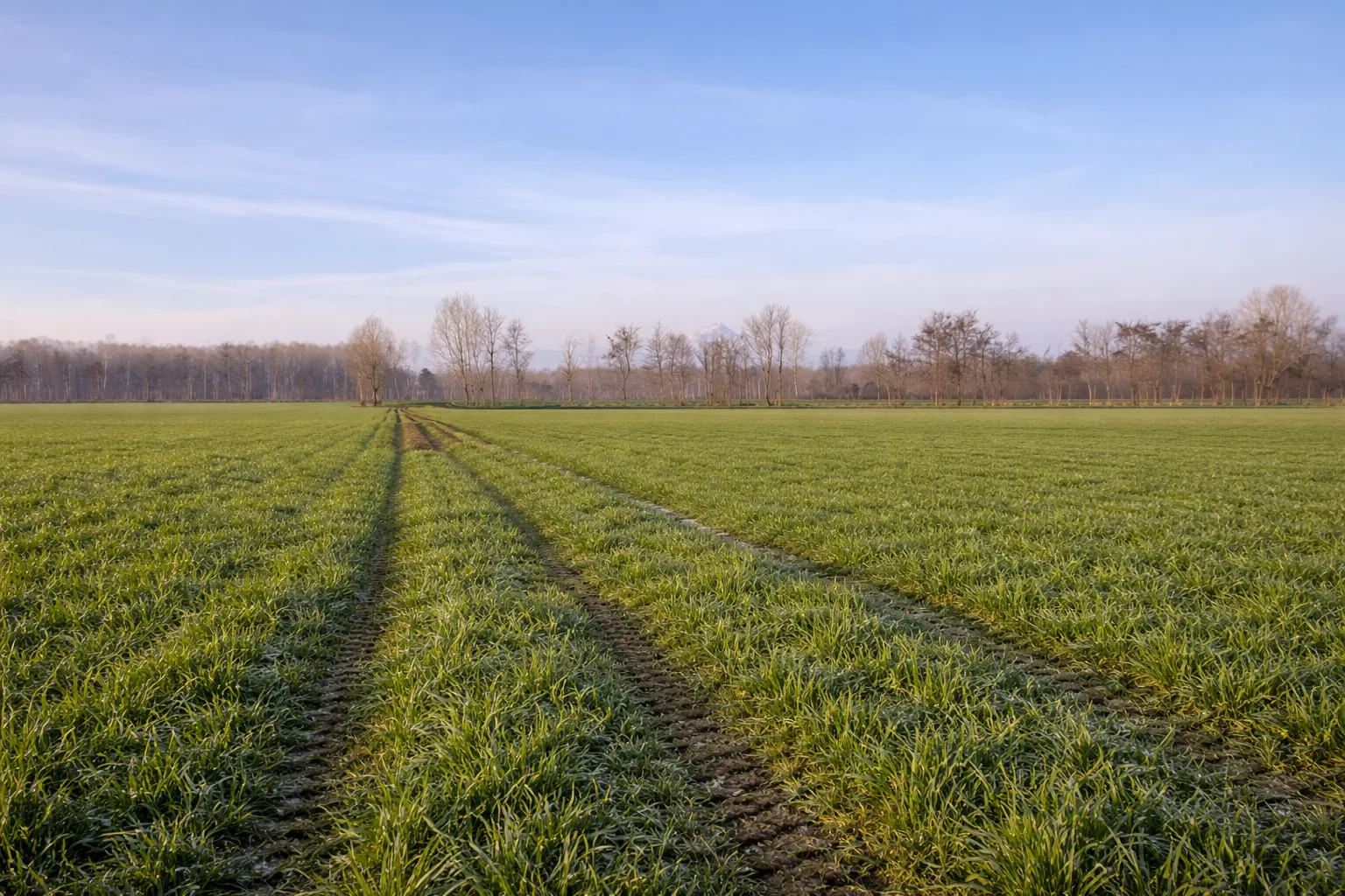
The Genola Ring Trail winds through the Cuneo plain around the farming village of Genola, crossing a landscape dominated by cereal crops, orchards, and permanent meadows irrigated by a system of canals derived from the Stura River. The circular route, over thirty kilometers long, follows country roads and irrigation canal banks that create a regular pattern across the flat terrain, offering sweeping views of the western Alpine arc from Monviso to Monte Rosa. Genola retains its medieval layout, with its 14th-century civic tower and the remains of the defensive walls that protected the village from Savoy raids. The historic farmhouses dotted along the trail testify to the centuries-old agricultural tradition of this part of the province, where cereals, fodder, and the prized fruit of the Cuneo plain are grown. This long but completely flat route is also suitable for cyclists and can be split into two outings.
Gallery
Navigate with QR Code
Scan with your smartphone to start guided navigation directly on the trail.
Trail QR Code
Frame the QR code to open the full navigation

Partenza
Km 0.00
Accessibility for People with Disabilities
Percorso pianeggiante su strade sterrate e argini, lungo ma senza difficoltà tecniche
Il livello di accessibilità è dichiarato dall'ente che gestisce il percorso. Se trovi una difformità, segnalacela: la correggiamo insieme al Comune.
Hiking boots, poles, backpack with 2L water, windbreaker, energy snacks, sunscreen
For additional information, contact the local tourist office or the reference shelter for the trail.
44,57276, 7,70551

