
 EE
EE
Trail Map
Il tracciato completo con i punti di interesse. Puoi cambiare il tipo di mappa dal comando in alto a destra e attivare rifugi, fontane e parcheggi dal pannello a sinistra.
Elevation Profile
Description
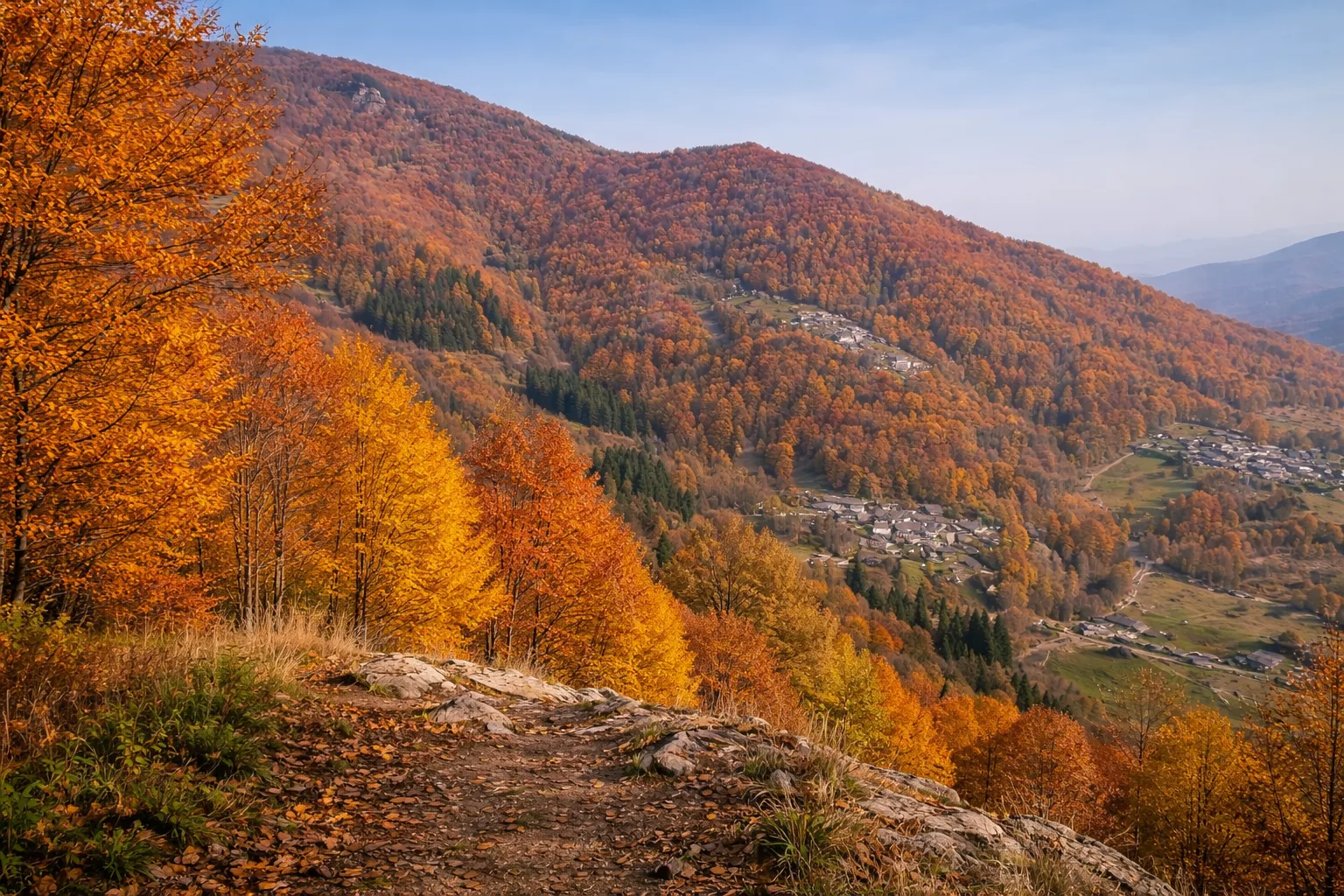
The Marmorera Trail is a high-altitude loop that winds through the area of Isasca, a small village in the lower Varaita Valley, where the valley begins to narrow between wooded slopes. The route steeply climbs the slopes to the ridges separating the Varaita Valley from the Maira Valley, reaching altitudes above 2,000 meters, where panoramic views of the Cottian Alps, from Monviso to Monte Pelvo, open up. The elevation gain of nearly 2,000 meters over twenty-two kilometers makes this route suitable for experienced and well-trained hikers. Along the way, you'll pass through larch and beech forests, mountain pastures still used for summer grazing, and ridge sections where you might spot chamois and marmots. The name Marmorera refers to the presence of marmots that inhabit the summit meadows with their characteristic burrows. Recommended only during the summer months, with an early morning departure.
Gallery
Navigate with QR Code
Scan with your smartphone to start guided navigation directly on the trail.
Trail QR Code
Frame the QR code to open the full navigation

Partenza
Km 0.00
Mountain boots, poles, equipped backpack, 2L water, layered clothing, first aid kit, headlamp, map and compass
For additional information, contact the local tourist office or the reference shelter for the trail.
44,57209, 7,36082

