
 E
E
Trail Map
Il tracciato completo con i punti di interesse. Puoi cambiare il tipo di mappa dal comando in alto a destra e attivare rifugi, fontane e parcheggi dal pannello a sinistra.
Elevation Profile
Description
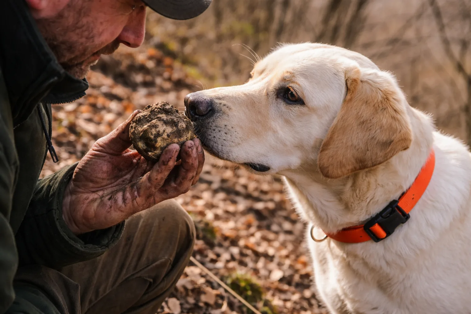
The Truffle Hunters' Woods is a long itinerary that winds through the Alta Langa hills around Lequio Tanaro, the home of the prized Alba white truffle, which grows among the roots of oaks, poplars, and lime trees in the humid valley woods. The route extends for over fifty kilometers through a hilly landscape alternating with Tonda Gentile delle Langhe hazelnut groves, downy oak forests, and Dolcetto vineyards. The trail passes rural villages where the tradition of truffle hunting with dogs survives, a practice recognized by UNESCO as an Intangible Cultural Heritage of Humanity in 2021. The clay and limestone hills that characterize this area create an ideal microclimate for truffle growth, making autumn the most picturesque season for this itinerary. This very long route can be divided into several stages; the recommended time is between October and November, when the woods are ablaze with autumnal colors.
Gallery
Navigate with QR Code
Scan with your smartphone to start guided navigation directly on the trail.
Trail QR Code
Frame the QR code to open the full navigation

Partenza
Km 0.00
Hiking boots, poles, backpack with 2L water, windbreaker, energy snacks
For additional information, contact the local tourist office or the reference shelter for the trail.
44,53915, 7,83092

