
 E
E
Trail Map
Il tracciato completo con i punti di interesse. Puoi cambiare il tipo di mappa dal comando in alto a destra e attivare rifugi, fontane e parcheggi dal pannello a sinistra.
Elevation Profile
Description
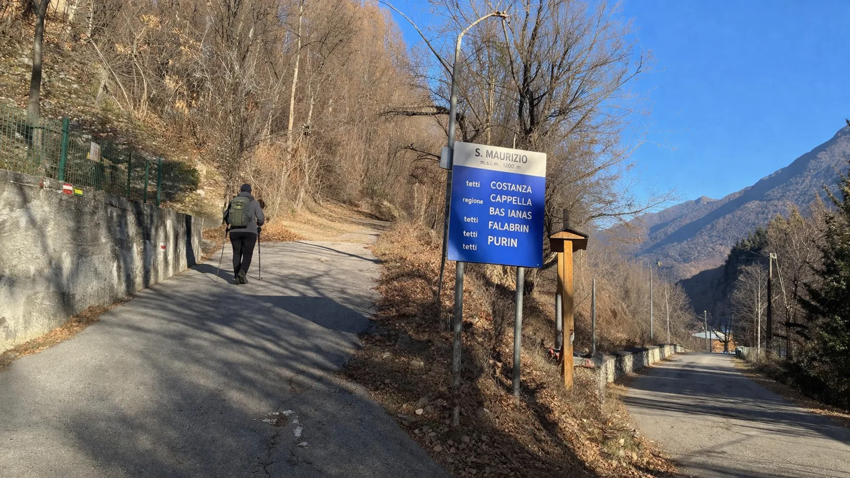
The Limone - San Maurizio route connects the historic center of Limone Piemonte to the hamlet of San Maurizio, ascending through the coniferous forests surrounding one of Italy's oldest ski resorts, founded in 1907 with the construction of the Cuneo-Ventimiglia railway. The route ascends the eastern slope of the Vermenagna Valley, passing the ruins of the Alpine Wall military fortifications built in the 1930s along the French border. Limone Piemonte, whose name derives from the lemon groves that grew in the area's more sheltered microclimates in the Middle Ages, preserves a historic center with stone houses and 15th-century porticoes. The elevation gain concentrated in just a few kilometers offers a short but intense hike with views of the Limone basin and the ski slopes of the Riserva Bianca ski area. Ideal for spring and autumn, when the mountains are free of snow.
Gallery
Navigate with QR Code
Scan with your smartphone to start guided navigation directly on the trail.
Trail QR Code
Frame the QR code to open the full navigation

Partenza
Km 0.00
Hiking boots, telescopic poles, 1.5L water, windbreaker, energy snacks
For additional information, contact the local tourist office or the reference shelter for the trail.
44,20670, 7,57315

