
 EE
EE
Trail Map
Il tracciato completo con i punti di interesse. Puoi cambiare il tipo di mappa dal comando in alto a destra e attivare rifugi, fontane e parcheggi dal pannello a sinistra.
Elevation Profile
Description
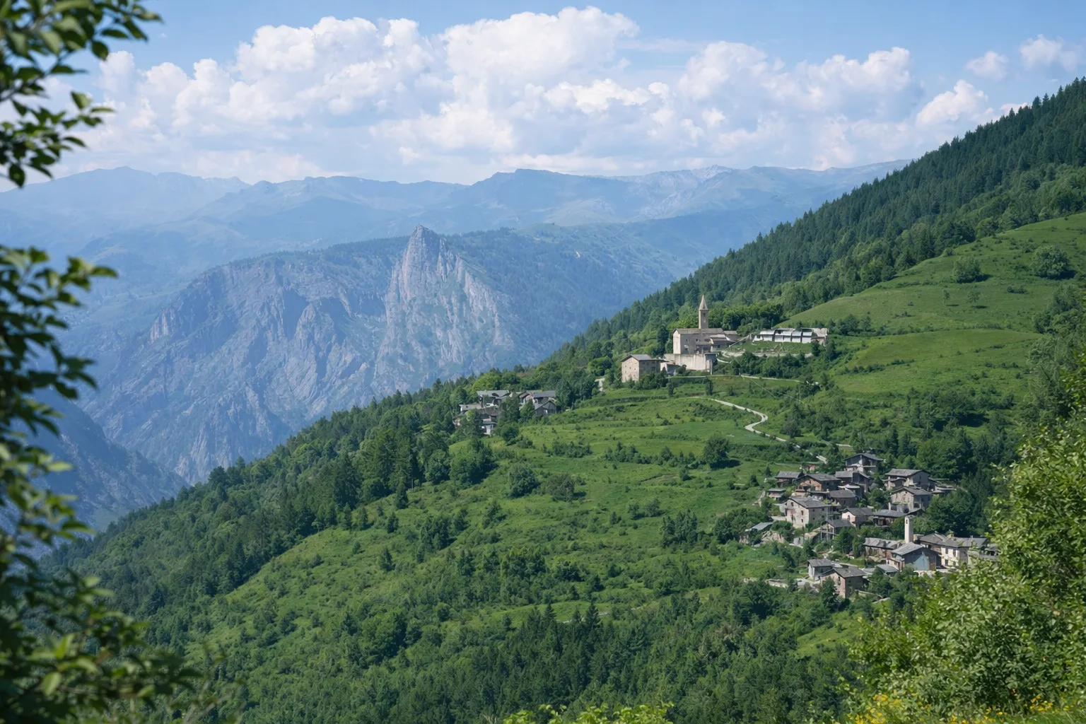
In the heart of the Maira Valley, the connecting trail to Stroppo winds through one of Piedmont's most authentic Alpine landscapes. The route begins in the hamlets of Marmora and ascends wooded slopes among larch and spruce trees, offering glimpses of the valley below. The significant elevation gain of over 1,200 meters requires adequate physical preparation and mountaineering gear. The ascent passes through ancient stone villages, testament to the Occitan culture that characterizes these valleys. The high-altitude meadows offer spectacular blooms in spring and early summer. The connection to Stroppo allows this stage to be included in a broader exploration of the valley. It is recommended to check the trail conditions before departure and to bring sufficient water supplies, as fountains are rare along the route.
Gallery
Navigate with QR Code
Scan with your smartphone to start guided navigation directly on the trail.
Trail QR Code
Frame the QR code to open the full navigation

Partenza
Km 0.00
Mountain boots, poles, backpack with water and food, waterproof jacket, topographic map
For additional information, contact the local tourist office or the reference shelter for the trail.
44,48993, 7,14492

