
 EE
EE
Trail Map
Il tracciato completo con i punti di interesse. Puoi cambiare il tipo di mappa dal comando in alto a destra e attivare rifugi, fontane e parcheggi dal pannello a sinistra.
Elevation Profile
Description
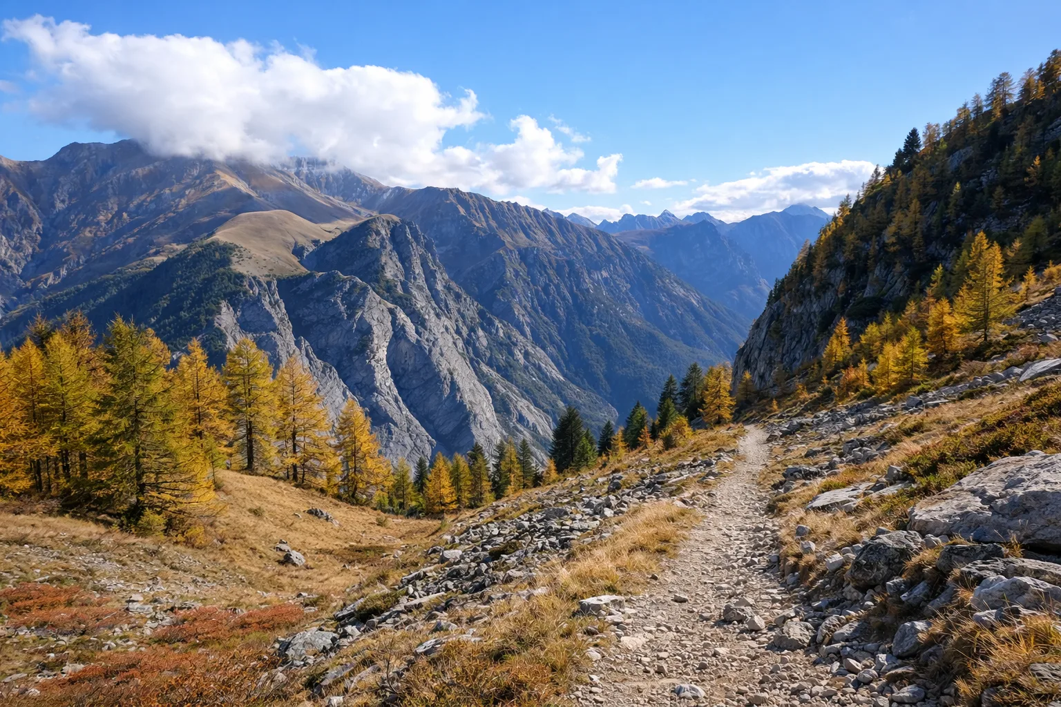
The Orange Trail is one of the great crossings of the Stura di Demonte Valley, winding along nearly sixty kilometers of trails through one of the most pristine Alpine landscapes in southern Piedmont. The route connects mountain villages and pastures through larch forests and high-altitude meadows, with a total elevation gain of over 2,600 meters. The surrounding peaks offer views spanning from the Maritime Alps to Monviso. The trail requires extensive hiking experience and excellent physical fitness, and it is recommended to split it into multiple stages, with overnight stays in the valley's refuges. During the summer, the pastures come alive with transhumance flocks and herds, while the alpine flora offers spectacular blooms. It is recommended to check the weather forecast before departure and bring full mountain gear.
Gallery
Navigate with QR Code
Scan with your smartphone to start guided navigation directly on the trail.
Trail QR Code
Frame the QR code to open the full navigation

Partenza
Km 0.00
Mountain boots, poles, backpack with water and food, waterproof jacket, topographic map
For additional information, contact the local tourist office or the reference shelter for the trail.
44,35623, 7,29376

