
 E
E
Trail Map
Il tracciato completo con i punti di interesse. Puoi cambiare il tipo di mappa dal comando in alto a destra e attivare rifugi, fontane e parcheggi dal pannello a sinistra.
Elevation Profile
Description
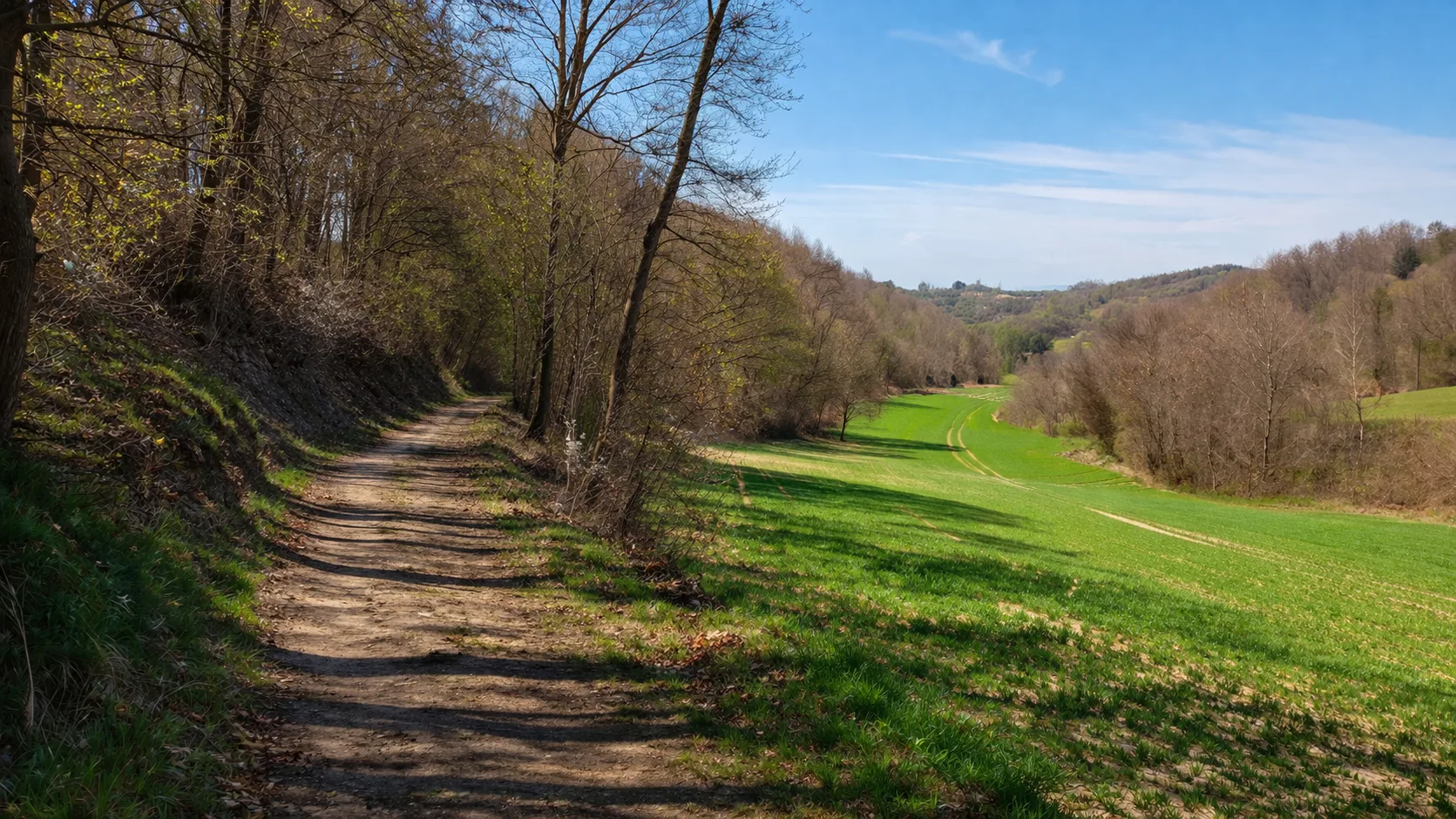
The Val Cusina Trail winds through the highest hills of the Langhe, in the Mombarcaro area, which, at 896 meters, is the highest point in the area. The trail follows the Cusina River valley, winding through beech and chestnut forests that retain an almost wild appearance. Along the thirty-six kilometers of the route, you pass through scenic clearings with views that on clear days reach the Ligurian Sea. The elevation gain of over a thousand meters testifies to the mountainous nature of this part of the Langhe. The passages through stone villages reveal the centuries-old history of human settlement in these valleys. The best seasons are spring and autumn, when the colors of the forest enhance the beauty of the landscape. Bring plenty of water, as springs are rare.
Gallery
Navigate with QR Code
Scan with your smartphone to start guided navigation directly on the trail.
Trail QR Code
Frame the QR code to open the full navigation

Partenza
Km 0.00
Hiking shoes, poles recommended, backpack with water, windproof jacket
For additional information, contact the local tourist office or the reference shelter for the trail.
44,43775, 8,00333

