
 T
T
Trail Map
Il tracciato completo con i punti di interesse. Puoi cambiare il tipo di mappa dal comando in alto a destra e attivare rifugi, fontane e parcheggi dal pannello a sinistra.
Elevation Profile
Description
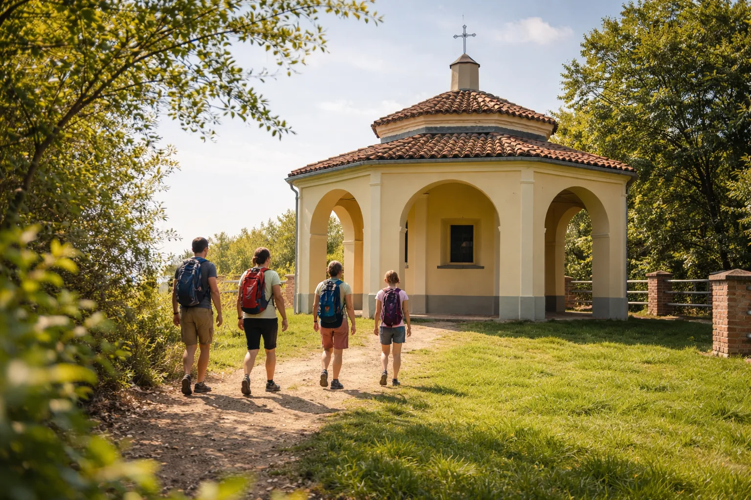
The Religious Trail traverses the heart of the Roero, a hilly region where spirituality blends with the Piedmontese agricultural landscape. The route connects country chapels and votive shrines scattered among vineyards and hazelnut groves, a testament to the deeply rooted popular devotion in these lands. At just over eight kilometers and with a moderate elevation gain, the trail is accessible to all and is ideal for a half-day of contemplative walking. The Rocche del Roero, spectacular geological formations of sand and clay, accompany the path with their jagged profiles. In autumn, the landscape is tinged with the warm colors of the grape harvest, making the hike particularly evocative. The trail is well marked and accessible year-round. We recommend combining a visit to local wineries to taste Arneis and Roero wines.
Gallery
Navigate with QR Code
Scan with your smartphone to start guided navigation directly on the trail.
Trail QR Code
Frame the QR code to open the full navigation

Partenza
Km 0.00
Lightweight hiking shoes, water, sunscreen
For additional information, contact the local tourist office or the reference shelter for the trail.
44,80112, 7,94374

