
 E
E
Trail Map
Il tracciato completo con i punti di interesse. Puoi cambiare il tipo di mappa dal comando in alto a destra e attivare rifugi, fontane e parcheggi dal pannello a sinistra.
Elevation Profile
Description
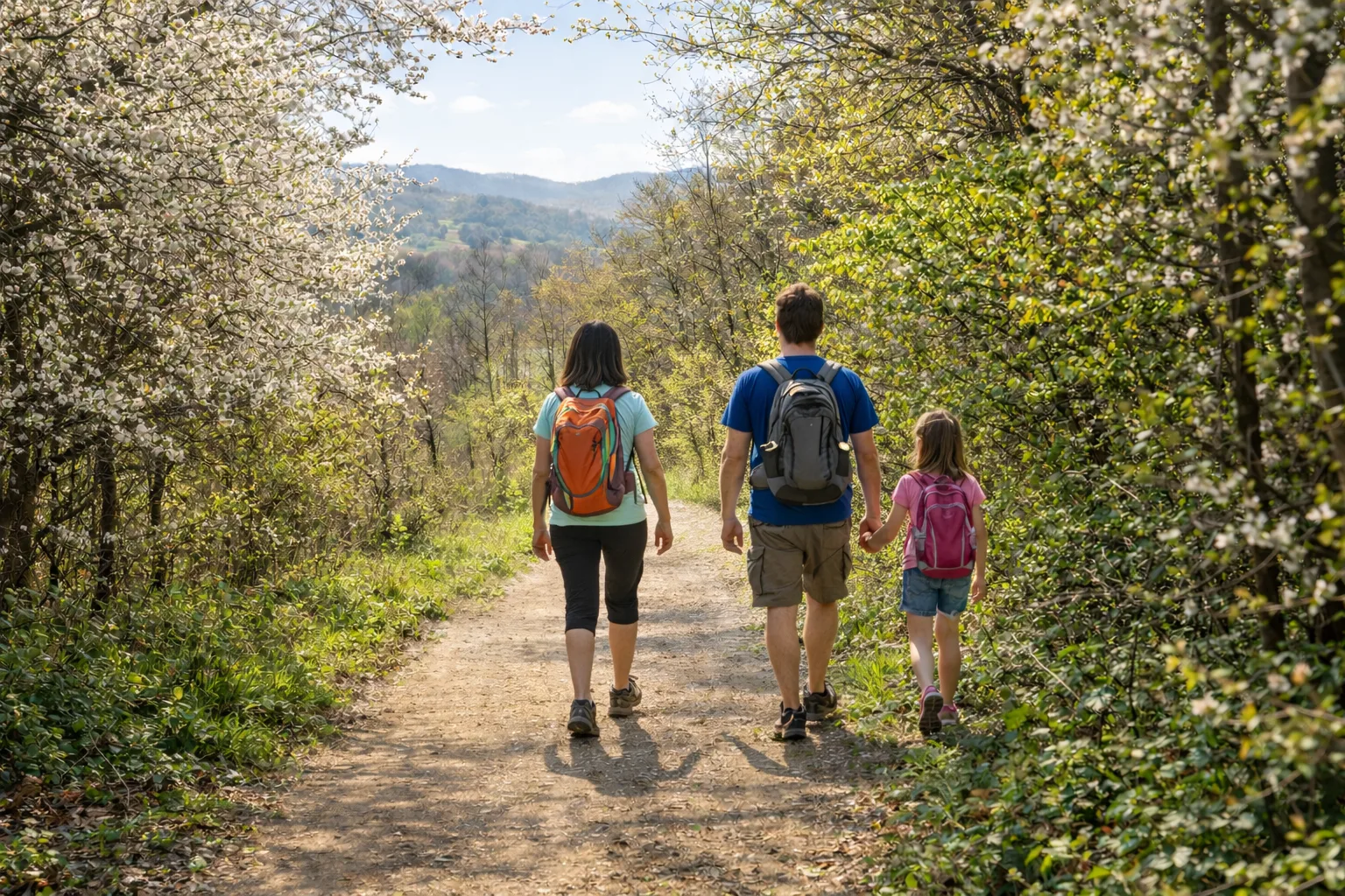
The Roero Beekeeping Trail celebrates the ancient connection between these hills and honey production, an activity that has characterized the area for centuries. The route winds through acacia and chestnut forests, the favorite trees of the bees that produce the prized Roero honey. Stretching nearly nine kilometers and gaining over 400 meters of elevation, the trail offers a challenging yet rewarding hike among the Rocche, the characteristic erosive formations that make this landscape unique. Information panels along the route illustrate the life of bees and traditional beekeeping techniques. On clear days, views range from Monviso to the Langhe hills. Spring and early summer are the best times, when the blooms transform the trails into fragrant corridors.
Gallery
Navigate with QR Code
Scan with your smartphone to start guided navigation directly on the trail.
Trail QR Code
Frame the QR code to open the full navigation

Partenza
Km 0.00
Hiking shoes, poles recommended, backpack with water, windproof jacket
For additional information, contact the local tourist office or the reference shelter for the trail.
44,81259, 7,96181

