
 T
T
Trail Map
Il tracciato completo con i punti di interesse. Puoi cambiare il tipo di mappa dal comando in alto a destra e attivare rifugi, fontane e parcheggi dal pannello a sinistra.
Elevation Profile
Description
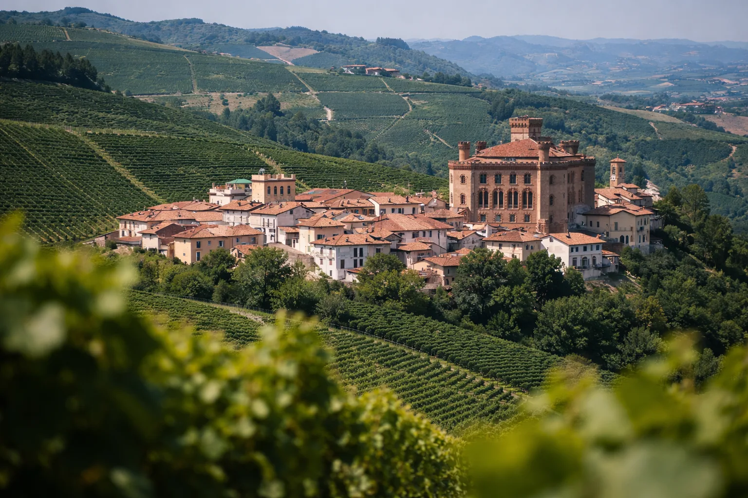
The Narzole Historical and Archaeological Trail leads you on a discovery of a region where every hill holds traces of ancient settlements and medieval memories. The thirty-kilometer route traverses the agricultural landscape of the northern Langhe, passing sites of archaeological interest that testify to human habitation since Roman times. Along the way, you'll encounter the remains of fortifications, frescoed country chapels, and historic farmhouses that tell the story of centuries of rural life. The moderate elevation gain makes the hike suitable for hikers of all levels, although its length requires careful planning of stops. Dolcetto and Barbera vineyards frame the trail with orderly geometries alternating with wooded areas. The ideal seasons are spring and autumn, when the grazing light highlights the terrain's relief. Bring plenty of water and a map of the trail.
Gallery
Navigate with QR Code
Scan with your smartphone to start guided navigation directly on the trail.
Trail QR Code
Frame the QR code to open the full navigation

Partenza
Km 0.00
Lightweight hiking shoes, water, sunscreen
For additional information, contact the local tourist office or the reference shelter for the trail.
44,64961, 7,86107

