
 EE
EE
Trail Map
Il tracciato completo con i punti di interesse. Puoi cambiare il tipo di mappa dal comando in alto a destra e attivare rifugi, fontane e parcheggi dal pannello a sinistra.
Elevation Profile
Description
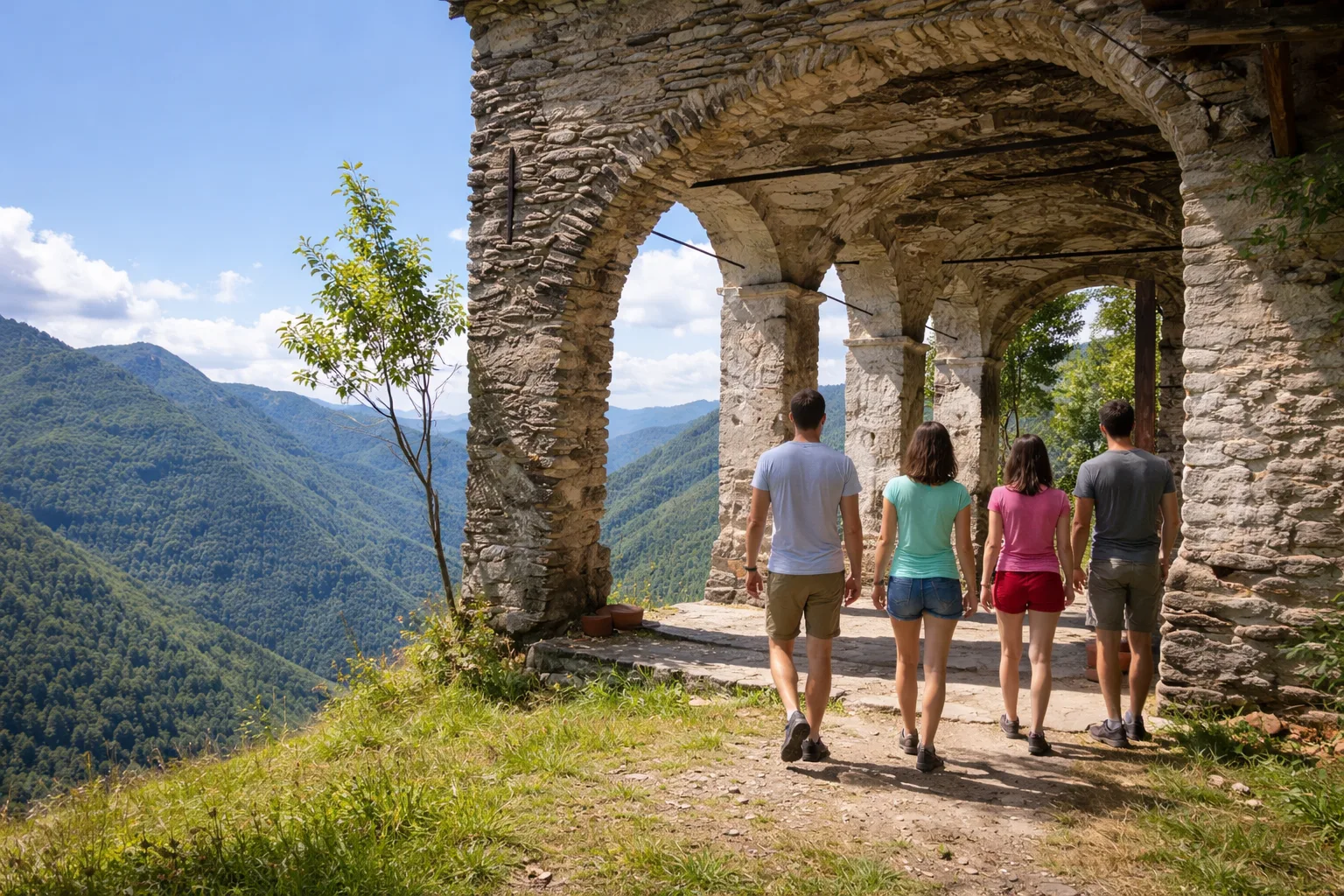
The Balconata di Ormea is one of the most spectacular hiking trails in the Ligurian Alps, a route that winds along the panoramic ridges surrounding the medieval village. At nearly forty kilometers and with an elevation gain of over 2,700 meters, it represents a serious challenge for experienced hikers, recommended in multiple stages. The trail passes through centuries-old beech forests, highland pastures, and rocky ridges from which, on clear days, the view extends from the sea to Monte Rosa. The botanical diversity is extraordinary, thanks to its location at the intersection of the Alpine and Mediterranean environments. The remains of fortifications and trenches from World War II add to the historical interest. Full mountain gear and weather conditions are recommended.
Gallery
Navigate with QR Code
Scan with your smartphone to start guided navigation directly on the trail.
Trail QR Code
Frame the QR code to open the full navigation

Partenza
Km 0.00
Mountain boots, poles, backpack with water and food, waterproof jacket, topographic map
For additional information, contact the local tourist office or the reference shelter for the trail.
44,16501, 7,96002

