
 E
E
Trail Map
Il tracciato completo con i punti di interesse. Puoi cambiare il tipo di mappa dal comando in alto a destra e attivare rifugi, fontane e parcheggi dal pannello a sinistra.
Elevation Profile
Description
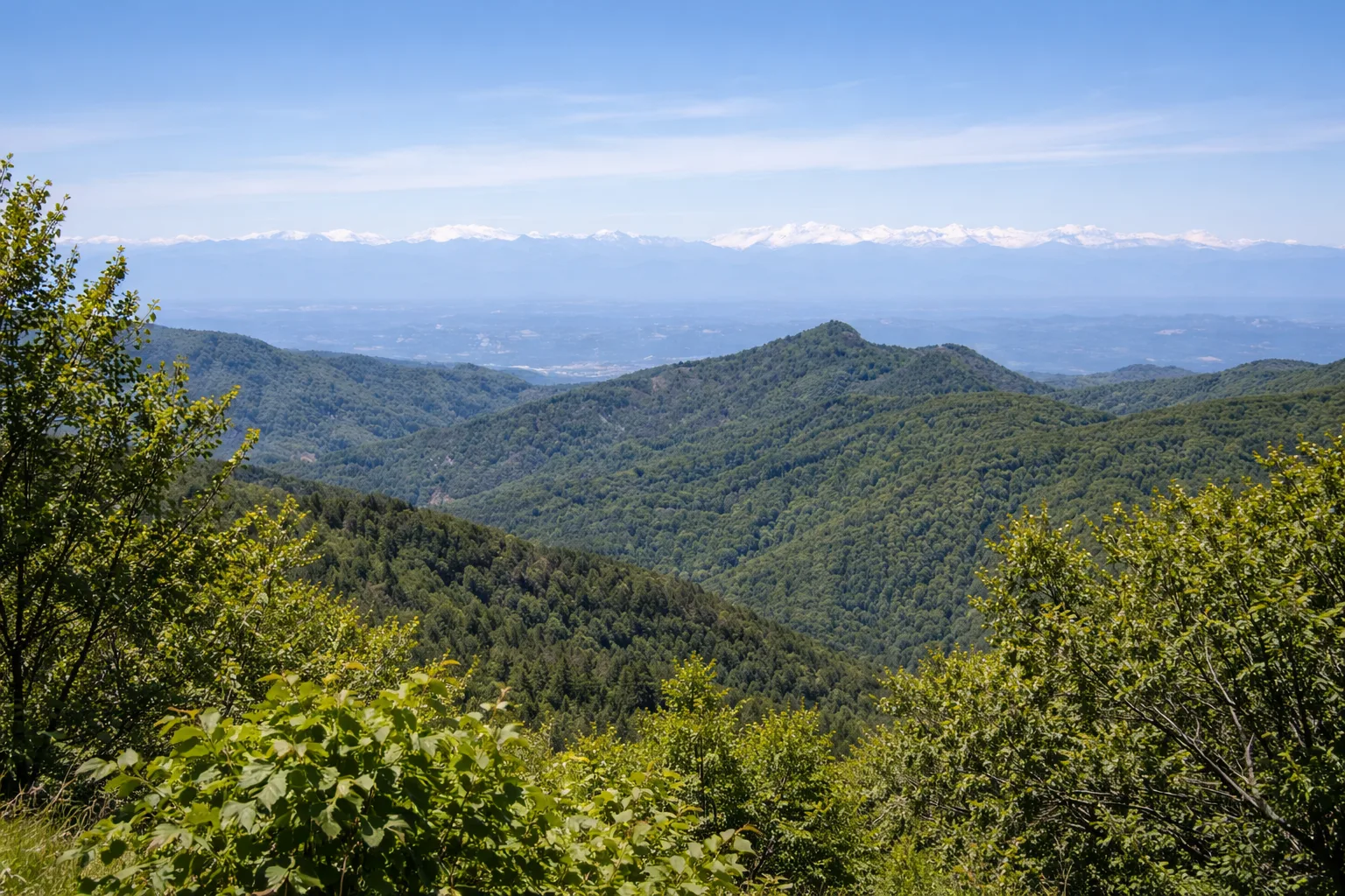
The Isola Grande - Monte Camulera route offers a mountaineering experience in the pre-Alpine region between the Tanaro Valley and Liguria, with a route that ascends to one of the most panoramic peaks in the area. The nearly eight kilometers include an elevation gain of over 700 meters through beech forests and summit meadows where the view extends to the sea. Monte Camulera is an excellent vantage point for understanding the geology of the Ligurian-Piedmontese Apennines, with its limestone layers revealing millions of years of history. The trail is well marked but requires good physical fitness for the steeper sections. Spring brings blooms of daffodils and wild orchids to the summit meadows. Trekking poles and a windbreaker are recommended for the ridge.
Gallery
Navigate with QR Code
Scan with your smartphone to start guided navigation directly on the trail.
Trail QR Code
Frame the QR code to open the full navigation

Partenza
Km 0.00
Hiking shoes, poles recommended, backpack with water, windproof jacket
For additional information, contact the local tourist office or the reference shelter for the trail.
44,28986, 8,14359

