
 T
T
Trail Map
Il tracciato completo con i punti di interesse. Puoi cambiare il tipo di mappa dal comando in alto a destra e attivare rifugi, fontane e parcheggi dal pannello a sinistra.
Elevation Profile
Description
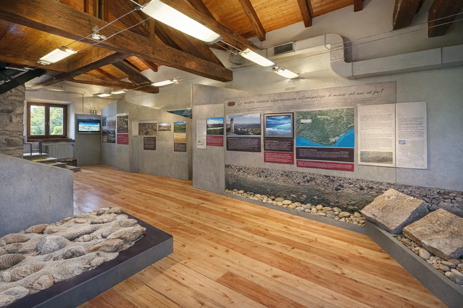
The Ecomuseum Trail in Pietraporzio offers a concentration of the Stura Valley's Alpine culture in a short hike suitable for everyone. The route winds through the town's hamlets, where ancient buildings made of local stone bear witness to traditional mountain architecture. Despite its short length, the trail allows you to appreciate the landscape of the middle Stura Valley, with its looming mountains and crystal-clear streams. The ecomuseum's panels illustrate the daily life of Alpine communities, traditional building techniques, and the use of natural resources. It is particularly suitable for families with children and for those seeking a gentle introduction to the valley's culture. Accessible year-round, it is best enjoyed in summer, when the villages are bustling with local activities. Comfortable shoes are sufficient.
Gallery
Navigate with QR Code
Scan with your smartphone to start guided navigation directly on the trail.
Trail QR Code
Frame the QR code to open the full navigation

Partenza
Km 0.00
Lightweight hiking shoes, water, sunscreen
For additional information, contact the local tourist office or the reference shelter for the trail.
44,34735, 7,03486

