
 T
T
Trail Map
Il tracciato completo con i punti di interesse. Puoi cambiare il tipo di mappa dal comando in alto a destra e attivare rifugi, fontane e parcheggi dal pannello a sinistra.
Elevation Profile
Description
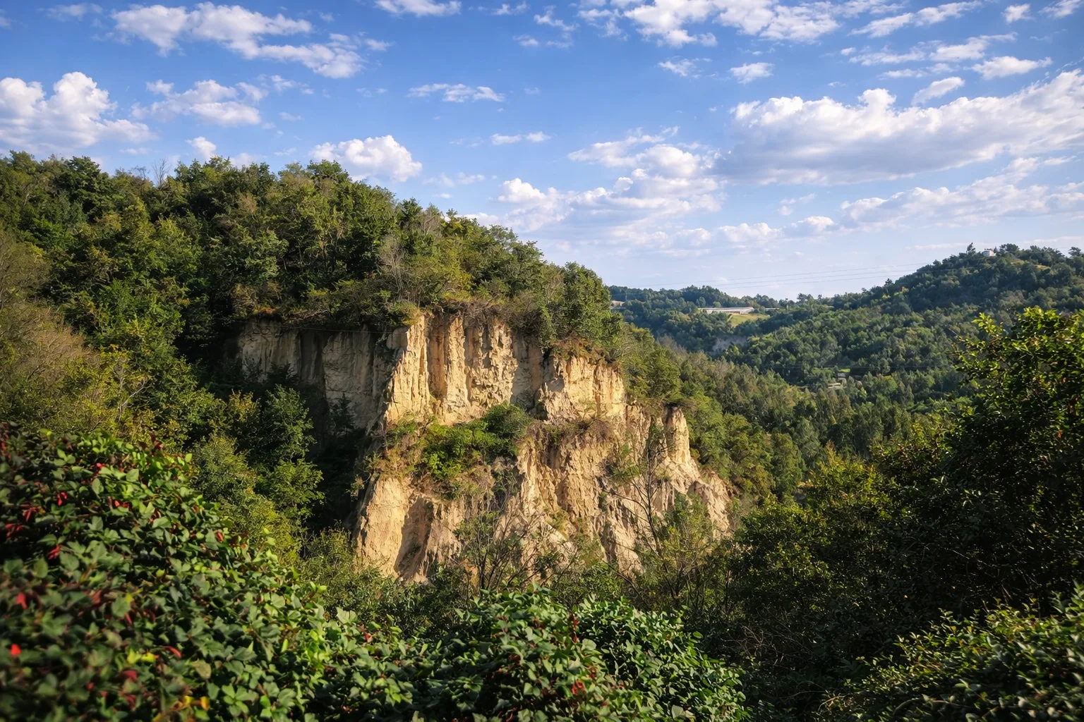
The Masca Miciclina Trail evokes the legends of Piedmont's witches as it passes through the most evocative Roero Rocks. The seven-kilometer route winds through sand formations sculpted by erosion into fantastical shapes, fueling popular imagination for centuries. The name recalls the figure of the Masca Miciclina, a creature of local folklore who, according to tradition, inhabited these deep gorges. The 300-meter elevation gain offers stunning views of the vertical walls of the Rocks and the plain below. The oak and chestnut forests covering the slopes are home to a rich fauna of birds of prey and small mammals. The trail is accessible year-round, but is not recommended after heavy rainfall due to the clay soil. Bring a flashlight if you plan to walk through the natural tunnels.
Gallery
Navigate with QR Code
Scan with your smartphone to start guided navigation directly on the trail.
Trail QR Code
Frame the QR code to open the full navigation

Partenza
Km 0.00
Lightweight hiking shoes, water, sunscreen
For additional information, contact the local tourist office or the reference shelter for the trail.
44,72106, 7,89407

