
 E
E
Trail Map
Il tracciato completo con i punti di interesse. Puoi cambiare il tipo di mappa dal comando in alto a destra e attivare rifugi, fontane e parcheggi dal pannello a sinistra.
Elevation Profile
Description
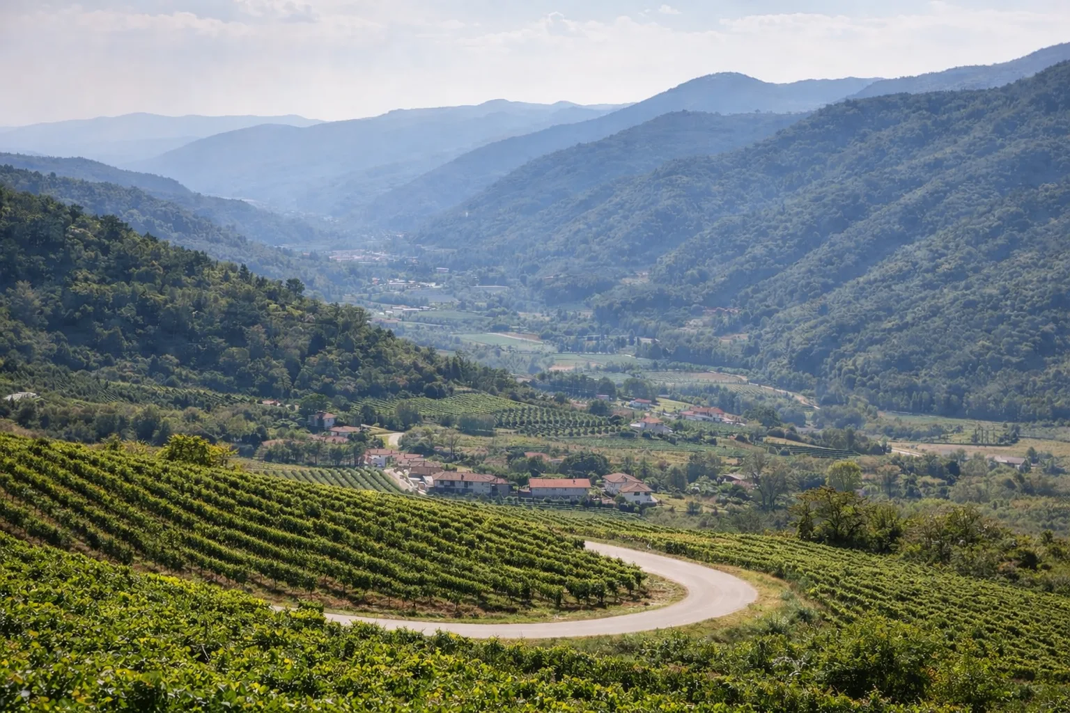
The Rocchetta Belbo Belvedere Trail winds through the most hidden hills of the Alta Langa, offering views that fully justify its name. The twenty-five-kilometer route traverses ridges and valley floors amidst Moscato vineyards and chestnut woods, with a challenging elevation gain of over 800 meters. From various points along the trail, the view sweeps across the Alpine crown and the expanse of the Langhe hills, a UNESCO World Heritage Site. The village of Rocchetta Belbo, nestled in the Belbo valleys, retains an authentic Piedmontese rural atmosphere. The trail passes through areas of great naturalistic interest where forest biodiversity is particularly rich. Spring and autumn are ideal seasons, with the blossoms and colors of the harvest. Bring plenty of water and plan breaks appropriate to the length of the trail.
Gallery
Navigate with QR Code
Scan with your smartphone to start guided navigation directly on the trail.
Trail QR Code
Frame the QR code to open the full navigation

Partenza
Km 0.00
Hiking shoes, poles recommended, backpack with water, windproof jacket
For additional information, contact the local tourist office or the reference shelter for the trail.
44,66848, 8,19588

