
 T
T
Trail Map
Il tracciato completo con i punti di interesse. Puoi cambiare il tipo di mappa dal comando in alto a destra e attivare rifugi, fontane e parcheggi dal pannello a sinistra.
Elevation Profile
Description
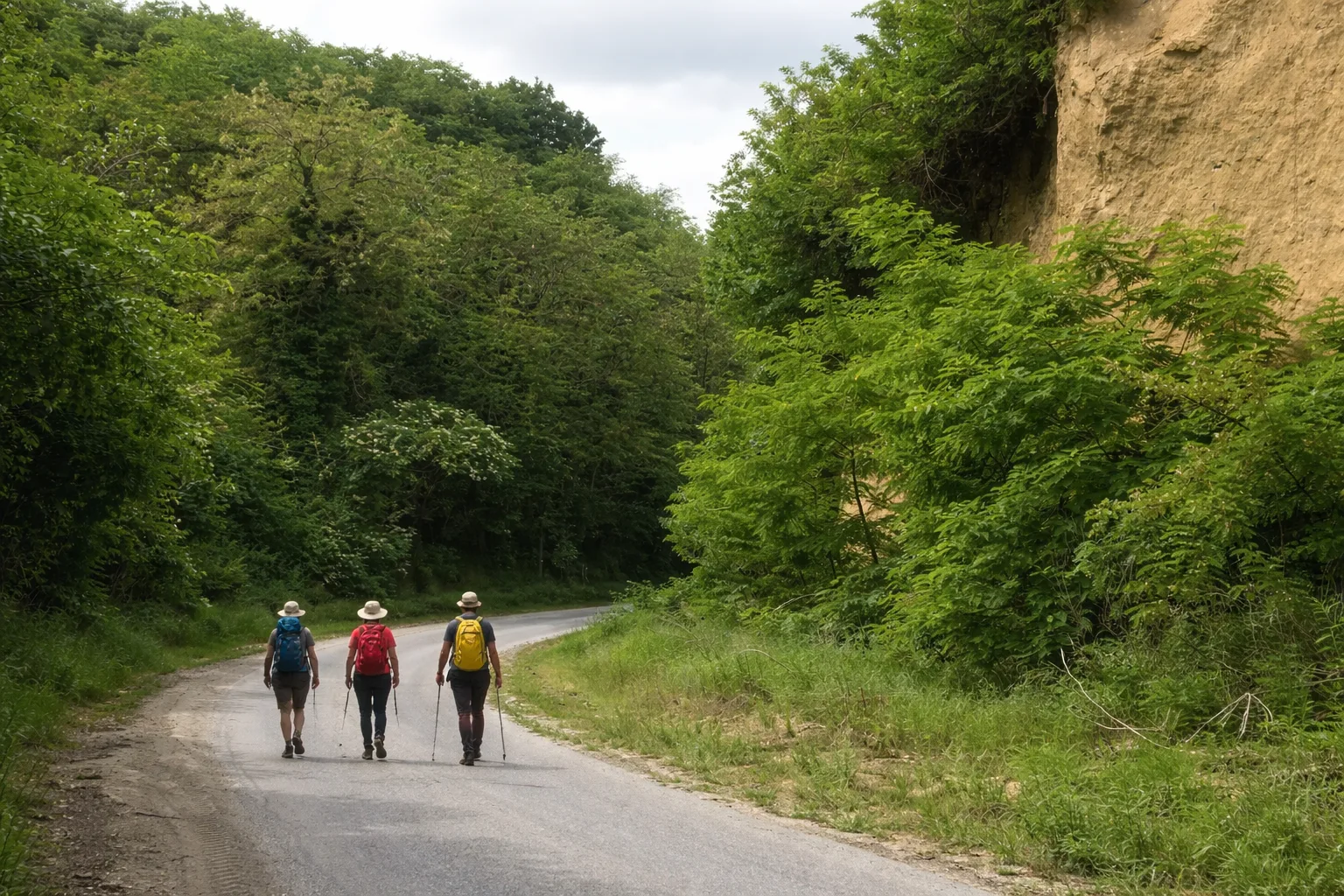
The Anello di Salmour offers a wide circular route through the Cuneo plain, where the agricultural landscape intertwines with valuable natural features. The twenty-two kilometers unfold over mostly flat terrain, amidst cultivated fields, rows of trees, and irrigation canals that create orderly geometries across the landscape. Despite the modest elevation gain, the length of the route requires careful planning. The route passes historic farmhouses and country chapels that dot the Salmour countryside, evidence of a thousand-year-old agricultural civilization. In spring, the blossoming of the orchards transforms the landscape into a palette of pastel colors. The route is also ideal for cyclists and can be enjoyed in all seasons. Comfortable shoes and sunscreen are sufficient.
Gallery
Navigate with QR Code
Scan with your smartphone to start guided navigation directly on the trail.
Trail QR Code
Frame the QR code to open the full navigation

Partenza
Km 0.00
Lightweight hiking shoes, water, sunscreen
For additional information, contact the local tourist office or the reference shelter for the trail.
44,57967, 7,79010

