
 T
T
Trail Map
Il tracciato completo con i punti di interesse. Puoi cambiare il tipo di mappa dal comando in alto a destra e attivare rifugi, fontane e parcheggi dal pannello a sinistra.
Elevation Profile
Description
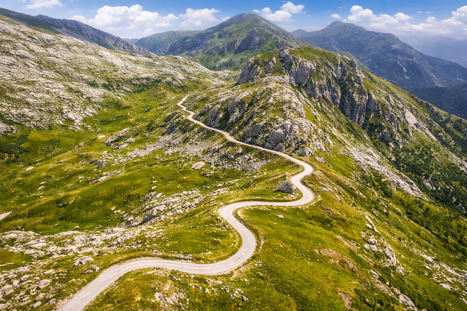
FROM THE ALPS TO THE SEA The Alta Via del Sale is a fascinating itinerary connecting Limone Piemonte to the Ligurian coast, following a network of high-altitude trails. These are primarily dirt and gravel roads, immersed in pristine natural environments, offering spectacular views along the entire route. It's a particularly popular route for mountain bikers and e-bike enthusiasts. The route winds through Piedmont, France, and Liguria, crossing Alpine landscapes rich in vegetation and wildlife, such as ibex, chamois, and marmots. Along the way, you'll also encounter numerous historical sites, including military fortifications. The journey culminates with the arrival on the Ligurian Riviera, where the sea is the ideal destination to conclude the experience with a rejuvenating swim. Rather than "Via del Sale," the correct name is "Alta Via del Sale": a route that starts in Limone Piemonte, reaches Colle di Tenda, and continues with climbs and descents to Ventimiglia. The route alternates between dirt roads, rough terrain, and short sections of asphalt, offering a varied and challenging experience. Historically, these roads were used to transport salt, a resource once considered extremely precious, even more so than gold, and transported by mule from the Ligurian coast to the hinterland. Today, the route is mostly traveled in the opposite direction, by cyclists departing from Piedmont to reach the sea via border territories. The itinerary is generally divided into two stages, with a stop at the Don Barbera refuge. This is a unique route: the lack of singletrack makes it less technical for more experienced bikers, but at the same time, it's not suitable for beginners, as it requires good preparation. The main challenges are related to the high altitude, variable weather conditions, unstable terrain, and managing any technical issues. For e-bikers, it's also essential to carefully plan battery life. Furthermore, signage is limited, making GPS tracks essential, and you'll need to consider the necessary equipment for overnight stays. Although some people tackle the route on gravel bikes, full-suspension mountain bikes are recommended for greater safety and comfort. It's best to avoid the hottest periods, opting for early or late summer, depending on when the mountain huts are open. Water sources are few along the route, so it's important to set out with adequate supplies.
Gallery
Points of Interest
Lungo il percorso trovi 6 punti segnalati. Durante la navigazione la mappa te li segnala quando ci passi vicino.
Farmhouse
Church of San Pietro
Stage
Stage
Fountain
Info post
Navigate with QR Code
Scan with your smartphone to start guided navigation directly on the trail.
Trail QR Code
Frame the QR code to open the full navigation

Partenza
Km 0.00
Adatto a MTB full/front o E-Bike full/front.
For additional information, contact the local tourist office or the reference shelter for the trail.
44,20362, 7,57755

