
Alta Via of the Morainic Amphitheater of Ivrea - Connecting Route of Villate
Orio Canavese (TO) · Piemonte
 T
T
Trail Map
Il tracciato completo con i punti di interesse. Puoi cambiare il tipo di mappa dal comando in alto a destra e attivare rifugi, fontane e parcheggi dal pannello a sinistra.
Elevation Profile
Description
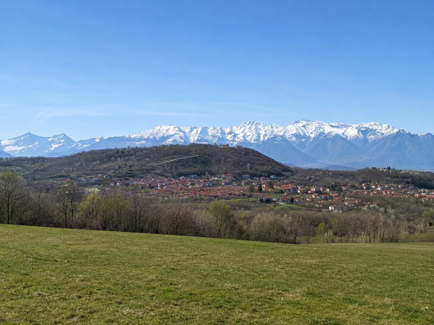
The Villate Connecting Trail is part of the Alta Via dell'Anfiteatro Morainico di Ivrea (Morainic Amphitheater High Trail) and passes through the Orio Canavese area amidst the gently undulating moraine hills. This short route connects the hamlet of Villate to the main ridge of the Alta Via, passing through meadows and small broadleaf forests. The landscape is typical of the Canavese area: vineyards alternating with fields and natural areas that testify to the ecological richness of the moraine amphitheater. A leisurely stroll to appreciate the local landscape.
Gallery
Navigate with QR Code
Scan with your smartphone to start guided navigation directly on the trail.
Trail QR Code
Frame the QR code to open the full navigation

Partenza
Km 0.00
Comfortable walking shoes, water, sunscreen
For additional information, contact the local tourist office or the reference shelter for the trail.
45,35310, 7,84327

