
 T
T
Trail Map
Il tracciato completo con i punti di interesse. Puoi cambiare il tipo di mappa dal comando in alto a destra e attivare rifugi, fontane e parcheggi dal pannello a sinistra.
Elevation Profile
Description
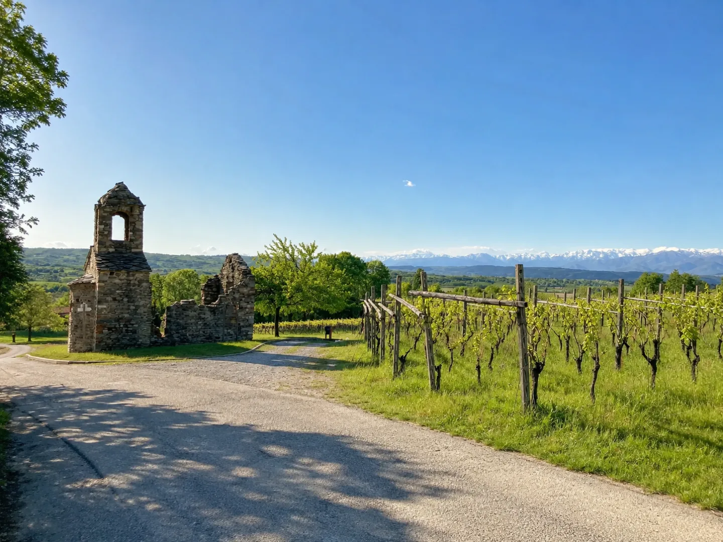
The Anello del Capoluogo (Ring of the Town Hall) of Palazzo Canavese is a circular route that encompasses the historic center and the surrounding countryside, offering a comprehensive overview of the Canavese landscape. The trail passes through vineyards, orchards, and agricultural areas interspersed with small woods, with views of the moraine hills and the Alpine range in the distance. It passes country chapels, traditional farmhouses, and panoramic viewpoints overlooking the plain. A pleasant stroll to discover the rural heritage of the Canavese.
Gallery
Navigate with QR Code
Scan with your smartphone to start guided navigation directly on the trail.
Trail QR Code
Frame the QR code to open the full navigation

Partenza
Km 0.00
Comfortable walking shoes, water, sunscreen
For additional information, contact the local tourist office or the reference shelter for the trail.
45,47723, 7,94391

