
 E
E
Trail Map
Il tracciato completo con i punti di interesse. Puoi cambiare il tipo di mappa dal comando in alto a destra e attivare rifugi, fontane e parcheggi dal pannello a sinistra.
Elevation Profile
Description
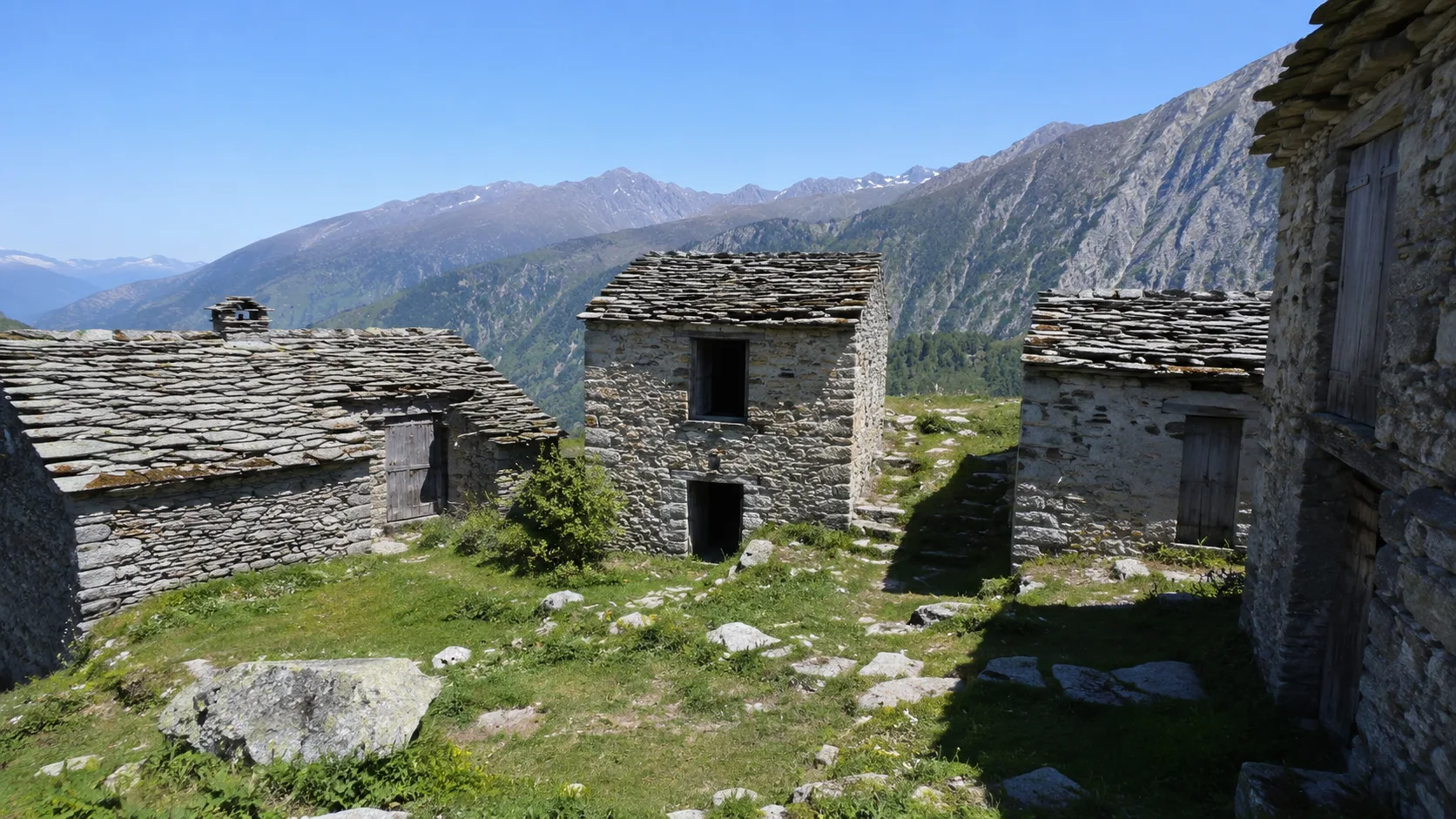
The Resistance Trails - Stage 1 cross the Pont-Canavese area, in the Orco Valleys, marking the beginning of the historical trail dedicated to the memory of the partisan struggle in the Canavese area. The trail winds through the woods and mountain hamlets surrounding the town, passing significant sites in the history of the local Resistance. The walk passes through chestnut trees and meadows with views of the valley and surrounding mountains. It's the first step on a journey of remembrance through the Canavese valleys.
Gallery
Navigate with QR Code
Scan with your smartphone to start guided navigation directly on the trail.
Trail QR Code
Frame the QR code to open the full navigation

Partenza
Km 0.00
Hiking shoes, poles, backpack with water and snacks
For additional information, contact the local tourist office or the reference shelter for the trail.
45,40793, 7,57767

