
 T
T
Trail Map
Il tracciato completo con i punti di interesse. Puoi cambiare il tipo di mappa dal comando in alto a destra e attivare rifugi, fontane e parcheggi dal pannello a sinistra.
Elevation Profile
Description
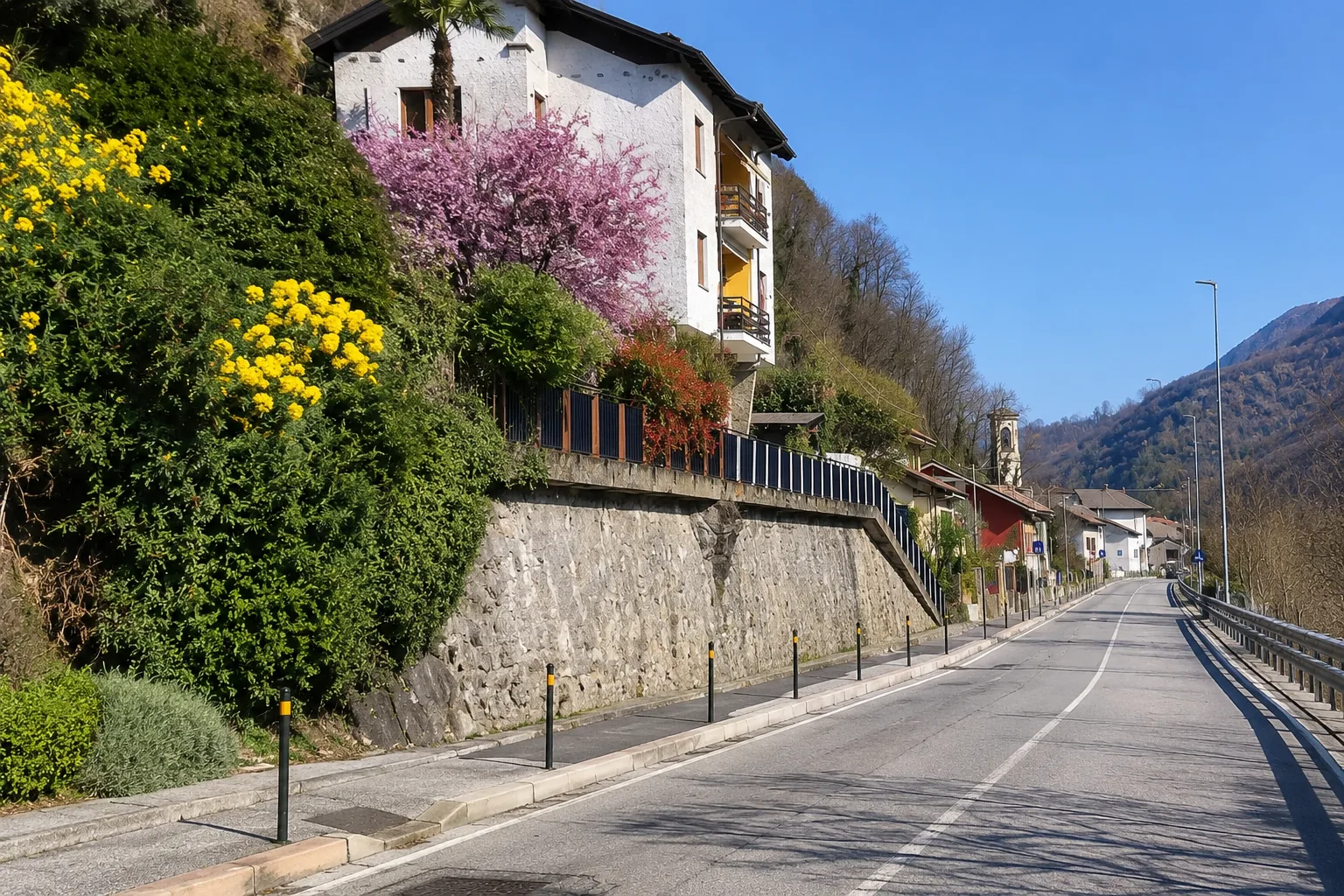
The Pinerolo Olympic Valleys Cycle Path connects the center of Pinerolo to the mountain resorts of the Olympic Valleys, crossing the Porte district. The route follows the Chisone Valley valley floor on a dedicated cycle path, running alongside the Chisone River through green spaces and residential areas. The route is flat and well-maintained, ideal for families and cyclists of all levels. This greenway allows you to reach the 2006 Olympic mountains from the Pinerolo plain.
Gallery
Navigate with QR Code
Scan with your smartphone to start guided navigation directly on the trail.
Trail QR Code
Frame the QR code to open the full navigation

Partenza
Km 0.00
Comfortable walking shoes, water, sunscreen
For additional information, contact the local tourist office or the reference shelter for the trail.
44,88558, 7,31723

