
 EE
EE
Trail Map
Il tracciato completo con i punti di interesse. Puoi cambiare il tipo di mappa dal comando in alto a destra e attivare rifugi, fontane e parcheggi dal pannello a sinistra.
Elevation Profile
Description
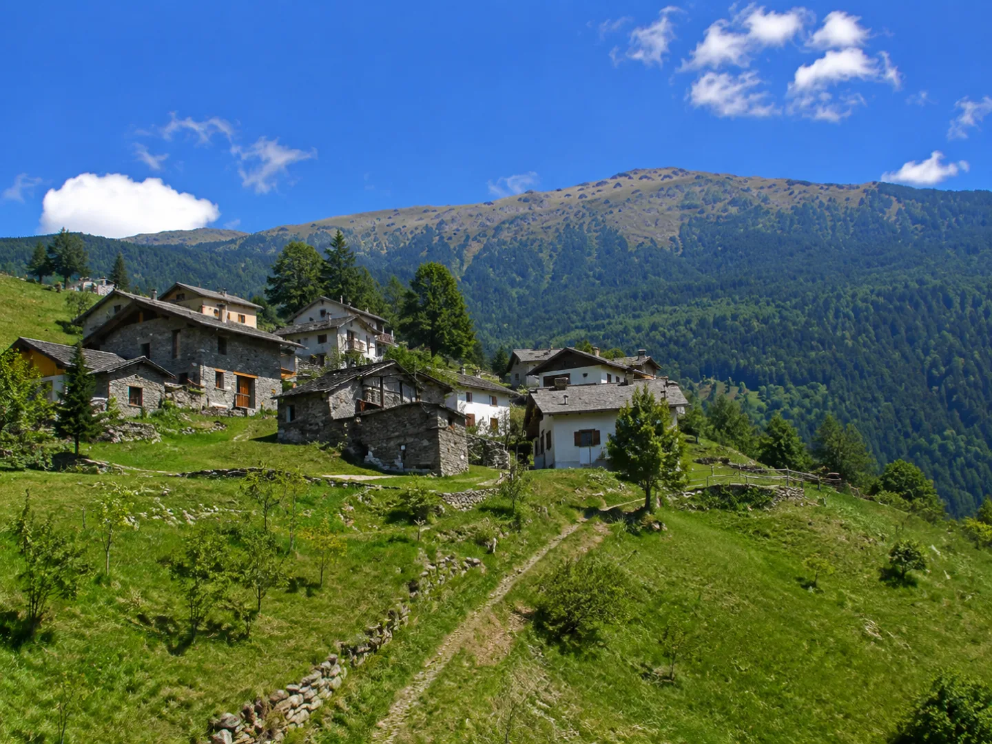
The Salbertrand-Pragelato route connects the two towns in the upper Susa Valley, crossing the Colle delle Finestre and the coniferous forests of the Gran Bosco Park. The trail follows ancient mountain paths through larch and fir trees, offering views of the peaks of the Cottian Alps and the slopes that hosted the 2006 Olympic Games. It passes through mountain pastures and flower-filled clearings in a mountain environment of great natural beauty. A challenging itinerary that connects two of the most picturesque towns in the upper valley.
Gallery
Navigate with QR Code
Scan with your smartphone to start guided navigation directly on the trail.
Trail QR Code
Frame the QR code to open the full navigation

Partenza
Km 0.00
Mountain boots, poles, technical clothing, first aid kit
For additional information, contact the local tourist office or the reference shelter for the trail.
45,07225, 6,88352

