
 T
T
Trail Map
Il tracciato completo con i punti di interesse. Puoi cambiare il tipo di mappa dal comando in alto a destra e attivare rifugi, fontane e parcheggi dal pannello a sinistra.
Elevation Profile
Description
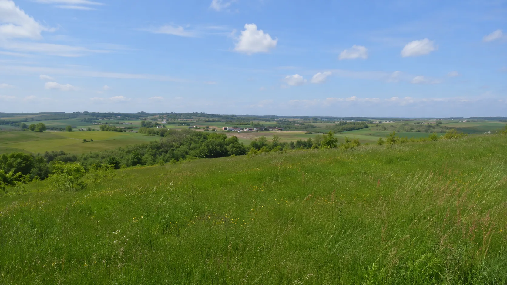
The Anello Rosso (Red Ring) is a short but picturesque circular route that winds through the rolling countryside of Pralormo, in the heart of southern Piedmont. The trail passes through a typically hilly rural landscape, amidst rows of vines, cultivated fields, and small woods that dot the municipal area. Along the way, you can admire panoramic views of the surrounding hills and the Turin plain, with the Alps in the background on clear days. The route is particularly pleasant in spring, when the countryside is ablaze with blooms, and in autumn with the warm hues of the foliage. It's ideal for a relaxing stroll exploring the local landscape.
Gallery
Navigate with QR Code
Scan with your smartphone to start guided navigation directly on the trail.
Trail QR Code
Frame the QR code to open the full navigation

Partenza
Km 0.00
comfortable shoes, water, sunscreen
For additional information, contact the local tourist office or the reference shelter for the trail.
44,85094, 7,91163

