
Rivoli Cycle and Pedestrian Itineraries - Itinerary 2
Rivalta di Torino (TO) · Piemonte
 T
T
Trail Map
Il tracciato completo con i punti di interesse. Puoi cambiare il tipo di mappa dal comando in alto a destra e attivare rifugi, fontane e parcheggi dal pannello a sinistra.
Elevation Profile
Description
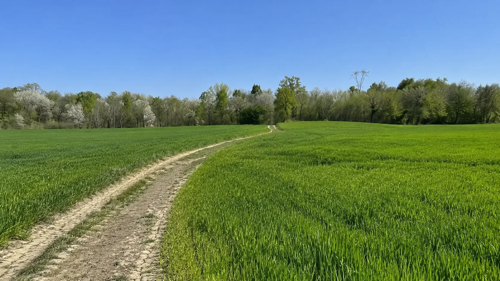
Route 2 of the Rivoli cycle/pedestrian paths runs through the Rivalta di Torino area, offering a pleasant urban and suburban stroll along dedicated soft mobility paths. The route winds through green spaces, public parks, and residential areas, connecting the municipality's main points of interest. The route is completely flat and suitable for everyone, including families with children and people with limited mobility who ride bicycles. It's an excellent opportunity to discover Rivalta's urban fabric and natural areas in a sustainable and relaxing way.
Gallery
Navigate with QR Code
Scan with your smartphone to start guided navigation directly on the trail.
Trail QR Code
Frame the QR code to open the full navigation

Partenza
Km 0.00
bicycle, helmet, water, repair kit
For additional information, contact the local tourist office or the reference shelter for the trail.
45,05415, 7,53754

