
 T
T
Trail Map
Il tracciato completo con i punti di interesse. Puoi cambiare il tipo di mappa dal comando in alto a destra e attivare rifugi, fontane e parcheggi dal pannello a sinistra.
Elevation Profile
Description
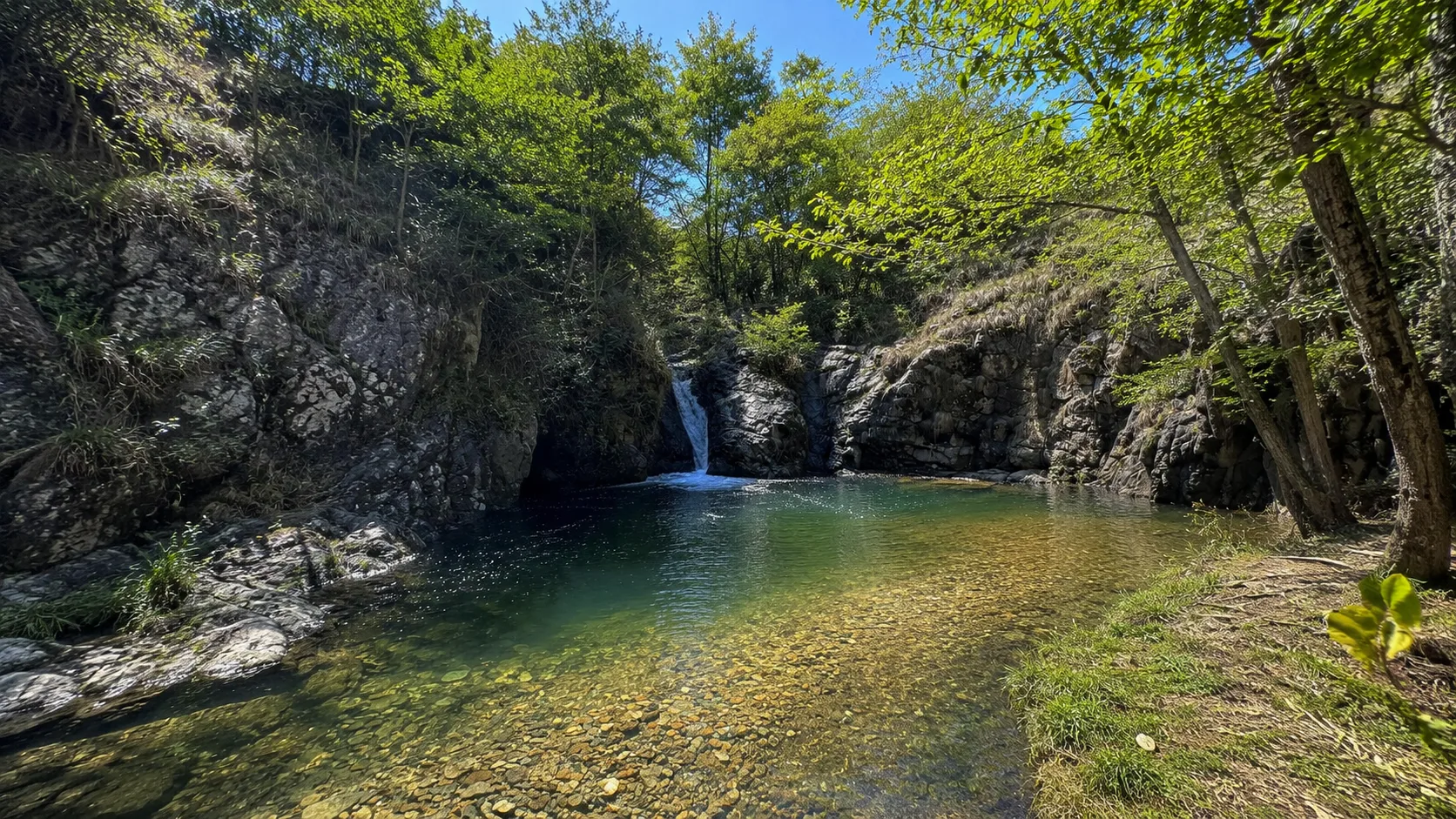
The Fandaglia Canyon Trail is a short but spectacular hike that winds along the walls of a canyon carved by a stream in the Rocca Canavese area. The route offers a unique naturalistic experience, passing through rock formations shaped by river erosion in an environment of great geological fascination. Despite its short length, the trail requires caution due to the uneven terrain and sections along the canyon walls. An ideal route for lovers of geology and wilderness, it offers unexpected views just a short walk from the town center.
Gallery
Navigate with QR Code
Scan with your smartphone to start guided navigation directly on the trail.
Trail QR Code
Frame the QR code to open the full navigation

Partenza
Km 0.00
comfortable shoes, water, sunscreen
For additional information, contact the local tourist office or the reference shelter for the trail.
45,29541, 7,55959

