
 E
Not accessible
E
Not accessible
Trail Map
Il tracciato completo con i punti di interesse. Puoi cambiare il tipo di mappa dal comando in alto a destra e attivare rifugi, fontane e parcheggi dal pannello a sinistra.
Elevation Profile
Description
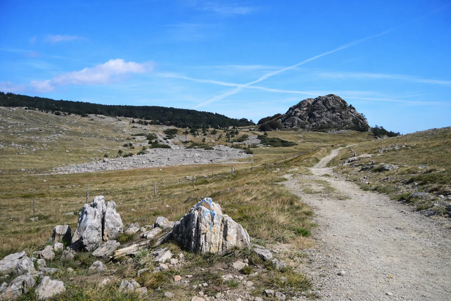
The Laione Peatbog Nature Trail winds through one of the rarest wetland environments in the Ligurian Apennines, within the Beigua Geopark — a UNESCO site. Starting from the village of Sassello, the route climbs gently through centuries-old chestnut groves before reaching the peatbog, a marshy depression formed during the last Ice Age roughly 10,000 years ago. Along the way, hikers can spot carnivorous sundews, sphagnum mosses and marsh orchids — relict species thriving in the cool, humid microclimate. Interpretive panels explain the local geology and botany. In autumn, beech trees surrounding the basin turn the landscape into shades of crimson and gold, while spring brings gentian blooms dotting the meadows. Bring binoculars to watch migratory birds resting in the wetlands, and wear waterproof boots for muddy stretches near the peatbog itself.
Gallery
Navigate with QR Code
Scan with your smartphone to start guided navigation directly on the trail.
Trail QR Code
Frame the QR code to open the full navigation

Partenza
Km 0.00
Accessibility for People with Disabilities
Il livello di accessibilità è dichiarato dall'ente che gestisce il percorso. Se trovi una difformità, segnalacela: la correggiamo insieme al Comune.
Scarponi da trekking impermeabili, bastoncini, acqua 1.5L, giacca a vento, binocolo, snack energetici
For additional information, contact the local tourist office or the reference shelter for the trail.
44,44225, 8,57764

