
 E
E
Trail Map
Il tracciato completo con i punti di interesse. Puoi cambiare il tipo di mappa dal comando in alto a destra e attivare rifugi, fontane e parcheggi dal pannello a sinistra.
Elevation Profile
Description
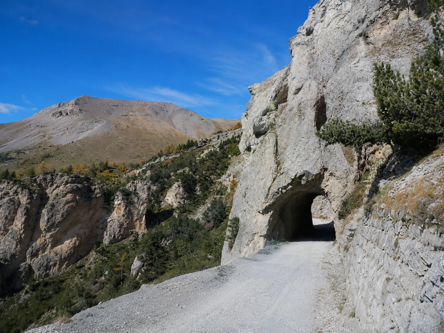
The Jafferau trail is a challenging hiking route that climbs the slopes of the mountain of the same name above Salbertrand, in the upper Susa Valley. The trail passes through larch and spruce forests until reaching high-altitude pastures, offering extraordinary views of the valley below and the surrounding peaks of the Gran Bosco di Salbertrand Natural Park. Jafferau is also known for its military fortifications dating back to World War II, which add historical interest to the nature trail. The route requires good physical fitness due to the significant elevation gain and overall length.
Gallery
Navigate with QR Code
Scan with your smartphone to start guided navigation directly on the trail.
Trail QR Code
Frame the QR code to open the full navigation

Partenza
Km 0.00
trekking shoes, poles, water, rain jacket
For additional information, contact the local tourist office or the reference shelter for the trail.
45,08646, 6,76919

