
Ivrea Morainic Amphitheater High Route - Montalenghe Connecting Route
San Giusto Canavese (TO) · Piemonte
 T
T
Trail Map
Il tracciato completo con i punti di interesse. Puoi cambiare il tipo di mappa dal comando in alto a destra e attivare rifugi, fontane e parcheggi dal pannello a sinistra.
Elevation Profile
Description
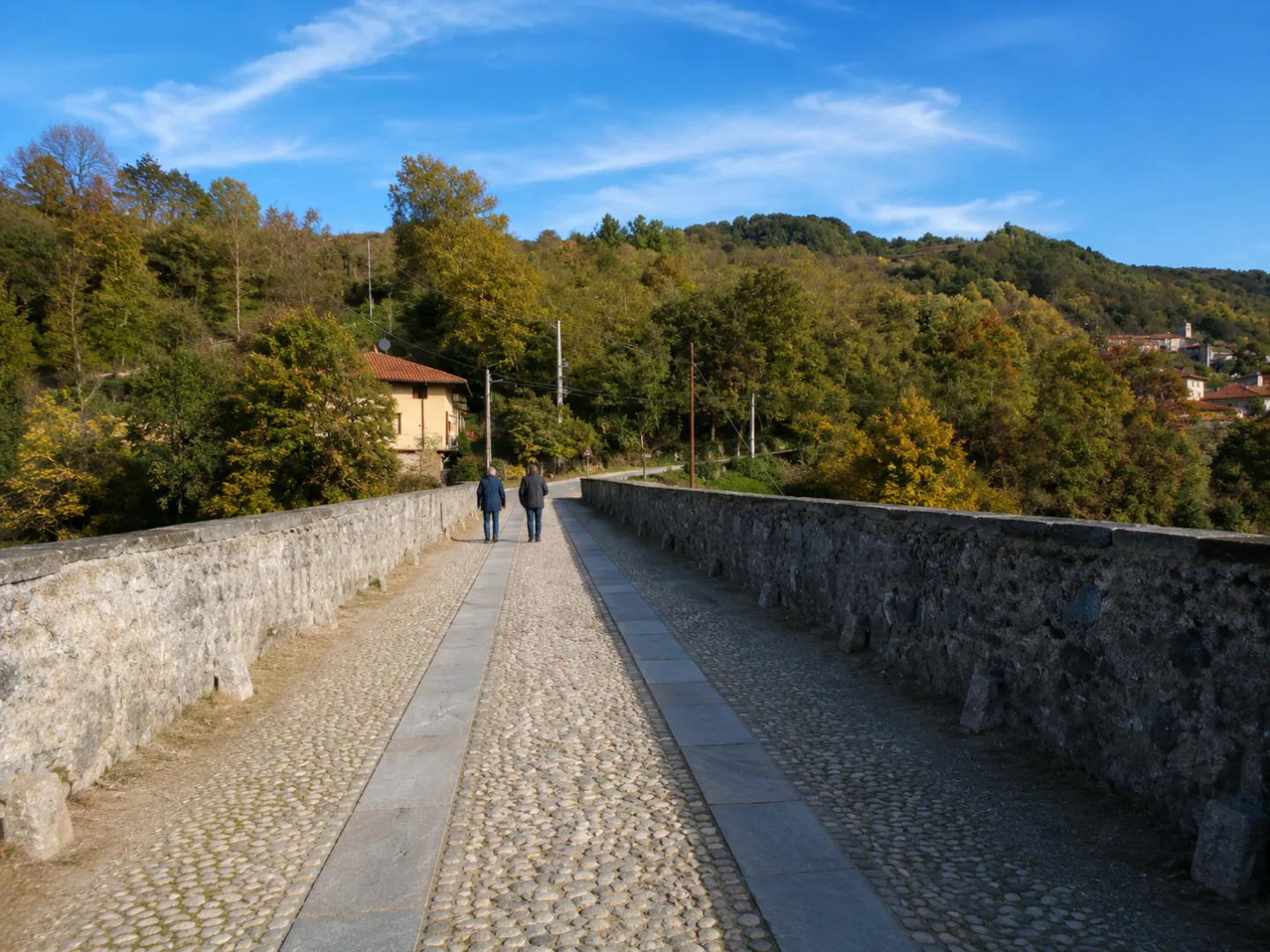
The Montalenghe Connecting Trail of the Ivrea Morainic Amphitheater High Trail passes through the San Giusto Canavese area, offering a short walk through the rolling morainic hills of the Canavese area. The route follows the geological formations left by the ancient Balteo glacier, passing through meadows, small woods, and tranquil rural areas. This easy route, suitable for everyone, allows you to appreciate the unique morphology of the morainic amphitheater in a harmonious and relaxing landscape.
Gallery
Navigate with QR Code
Scan with your smartphone to start guided navigation directly on the trail.
Trail QR Code
Frame the QR code to open the full navigation

Partenza
Km 0.00
comfortable shoes, water, sunscreen
For additional information, contact the local tourist office or the reference shelter for the trail.
45,33784, 7,83980

