
 E
E
Trail Map
Il tracciato completo con i punti di interesse. Puoi cambiare il tipo di mappa dal comando in alto a destra e attivare rifugi, fontane e parcheggi dal pannello a sinistra.
Elevation Profile
Description
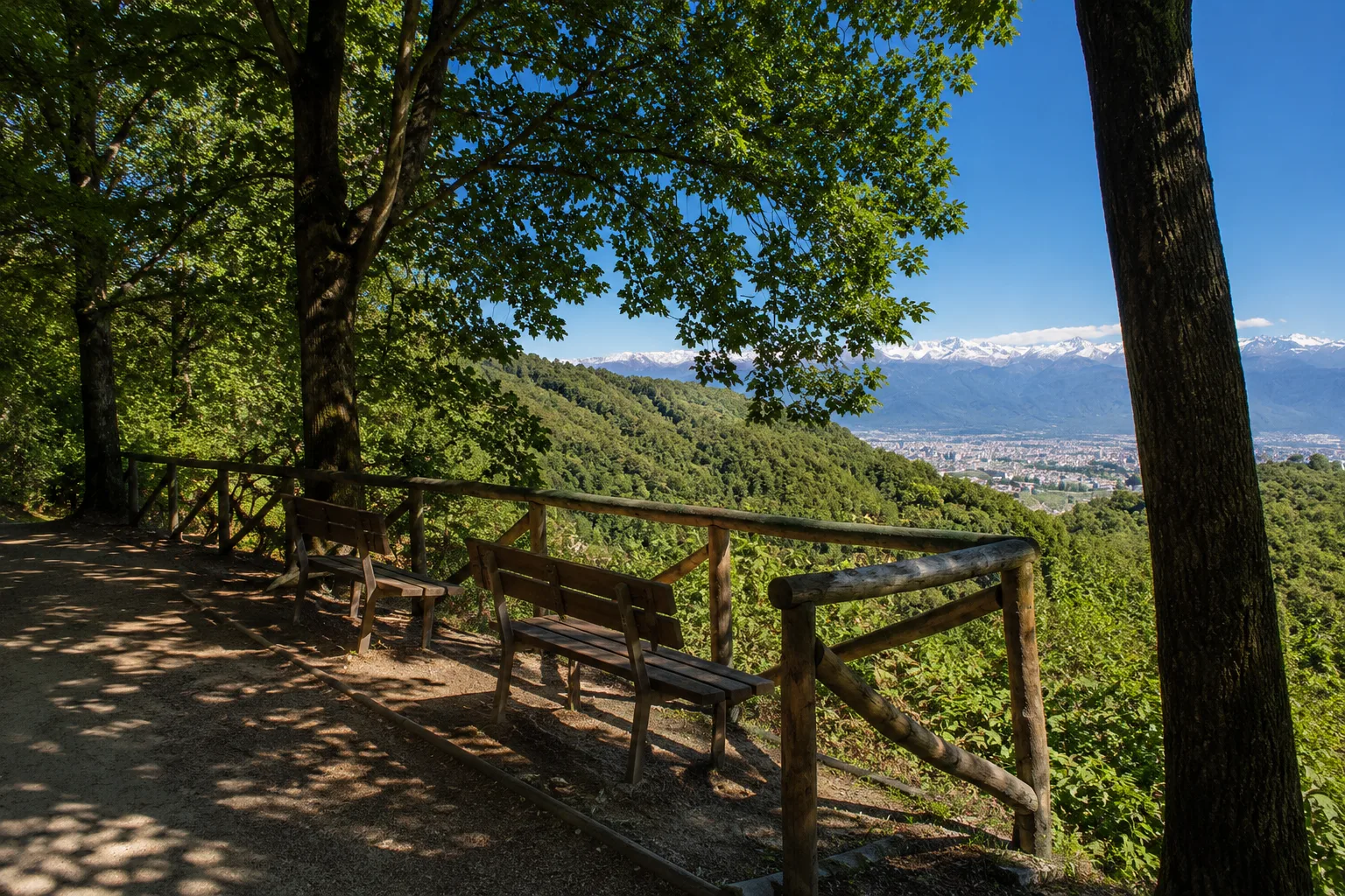
Stage 1 of the Don Bosco Way begins on the Turin hills and passes through the territory of San Mauro Torinese, following in the footsteps of the great Piedmontese saint. The route winds through the hills overlooking the confluence of the Po and Stura rivers, passing through woods, vineyards, and historic villages rich in testimonies to the life of St. John Bosco. The route offers evocative views of the city of Turin and the Alps, in a setting that combines spirituality, history, and nature. An ideal itinerary for those wishing to discover the cultural and scenic heritage of the Turin hills.
Gallery
Navigate with QR Code
Scan with your smartphone to start guided navigation directly on the trail.
Trail QR Code
Frame the QR code to open the full navigation

Partenza
Km 0.00
trekking shoes, poles, water, rain jacket
For additional information, contact the local tourist office or the reference shelter for the trail.
45,07973, 7,67505

