
 E
Not accessible
E
Not accessible
Trail Map
Il tracciato completo con i punti di interesse. Puoi cambiare il tipo di mappa dal comando in alto a destra e attivare rifugi, fontane e parcheggi dal pannello a sinistra.
Elevation Profile
Description
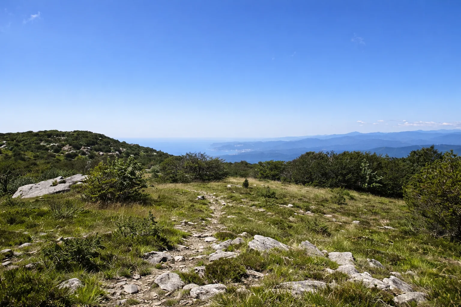
The Napoleonic Trail of Beigua follows a stretch of the military road used by French troops in 1800 during the Italian Campaign. The yellow-marked route runs along the ridge of Monte Beigua, through summit grasslands and outcrops of green serpentinite — the metamorphic rock that defines this UNESCO Geopark. The trail offers sweeping views over the Gulf of Genoa on one side and the gentle hills of lower Piedmont on the other. In spring the meadows are carpeted with wild narcissus and violets, while raptors such as the short-toed eagle and honey buzzard ride the thermals above the ridge. Along the way, remains of military positions and Napoleonic-era milestones appear. Best from April to October
Gallery
Navigate with QR Code
Scan with your smartphone to start guided navigation directly on the trail.
Trail QR Code
Frame the QR code to open the full navigation

Partenza
Km 0.00
Accessibility for People with Disabilities
Il livello di accessibilità è dichiarato dall'ente che gestisce il percorso. Se trovi una difformità, segnalacela: la correggiamo insieme al Comune.
Scarponi da trekking, bastoncini, acqua 1.5L, giacca a vento, crema solare, cappello
For additional information, contact the local tourist office or the reference shelter for the trail.
44,43386, 8,56105

