
 E
E
Trail Map
Il tracciato completo con i punti di interesse. Puoi cambiare il tipo di mappa dal comando in alto a destra e attivare rifugi, fontane e parcheggi dal pannello a sinistra.
Elevation Profile
Description
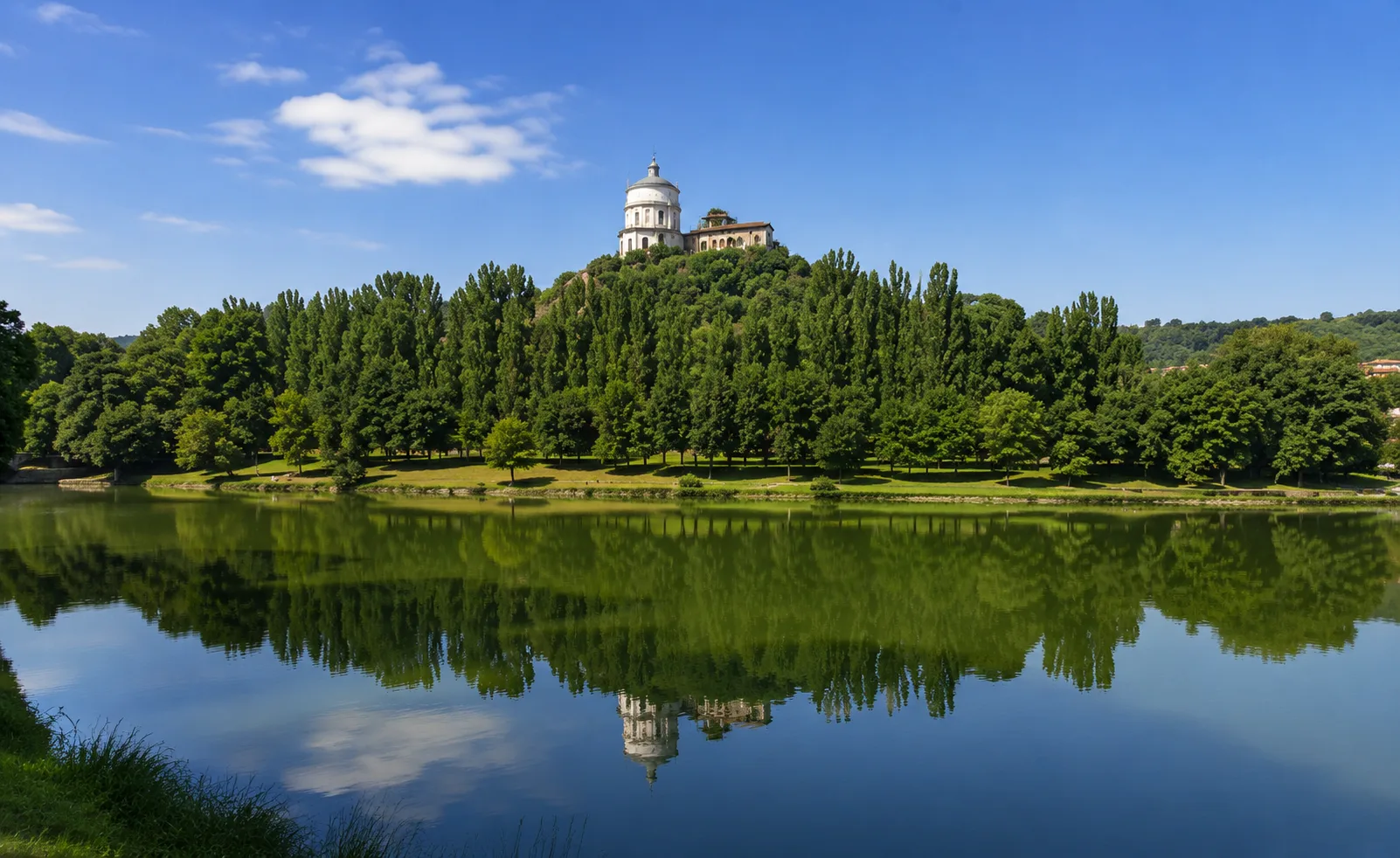
Turin's Green Ring is an ambitious circular route that encompasses the entire city, connecting parks, gardens, and green spaces in a single, sweeping urban itinerary. The route passes through Pellerina Park, Confluenza Park, Valentino Park, and the Turin hills, offering a unique perspective on the city and its relationship with greenery and rivers. The route is mostly flat, with some hilly sections, making it suitable for experienced hikers due to its overall length. A unique experience to discover the urban biodiversity and landscape heritage of the Savoy capital.
Gallery
Navigate with QR Code
Scan with your smartphone to start guided navigation directly on the trail.
Trail QR Code
Frame the QR code to open the full navigation

Partenza
Km 0.00
trekking shoes, poles, water, rain jacket
For additional information, contact the local tourist office or the reference shelter for the trail.
45,04657, 7,68665

