
 T
T
Trail Map
Il tracciato completo con i punti di interesse. Puoi cambiare il tipo di mappa dal comando in alto a destra e attivare rifugi, fontane e parcheggi dal pannello a sinistra.
Elevation Profile
Description
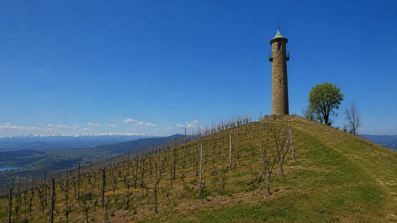
The Gianfranco Salotti Trail is a hiking trail dedicated to the memory of the mountain enthusiast of the same name, winding through the woods and hills above Trana, at the gateway to the Sangone Valley. The trail passes through broadleaf woodlands with panoramic views of the Turin plain and the Western Alps. The trail is easy and suitable for families, offering a natural immersion just a few kilometers from the city. This itinerary combines the memory of a loved one in the local community with the beauty of the Piedmontese hilly landscape.
Gallery
Navigate with QR Code
Scan with your smartphone to start guided navigation directly on the trail.
Trail QR Code
Frame the QR code to open the full navigation

Partenza
Km 0.00
comfortable shoes, water, sunscreen
For additional information, contact the local tourist office or the reference shelter for the trail.
45,05666, 7,40100

