
 EE
EE
Trail Map
Il tracciato completo con i punti di interesse. Puoi cambiare il tipo di mappa dal comando in alto a destra e attivare rifugi, fontane e parcheggi dal pannello a sinistra.
Elevation Profile
Description
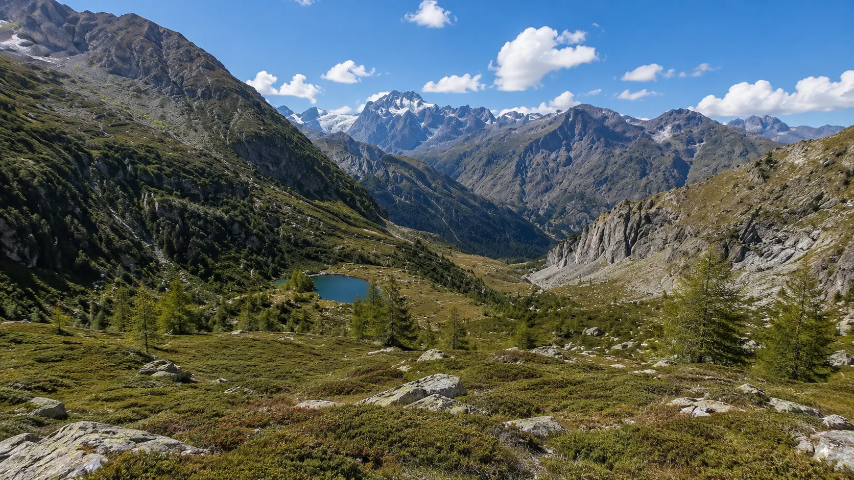
Stage D31 of the Via Alpina Blue passes through the Usseglio area, in the Lanzo Valleys, offering a truly impressive high-altitude hiking experience. The trail winds through alpine pastures, high-altitude lakes, and peaks over 3,000 meters high, in a glacial landscape of rare beauty. The route features significant elevation gain, requiring good physical fitness and appropriate equipment. The area is rich in alpine flora and offers the chance to spot chamois and ibex. A challenging yet extraordinarily scenic route in the heart of the Graian Alps.
Gallery
Navigate with QR Code
Scan with your smartphone to start guided navigation directly on the trail.
Trail QR Code
Frame the QR code to open the full navigation

Partenza
Km 0.00
mountain boots, poles, technical clothing, water, first aid kit
For additional information, contact the local tourist office or the reference shelter for the trail.
45,30241, 7,21754

