
 E
E
Trail Map
Il tracciato completo con i punti di interesse. Puoi cambiare il tipo di mappa dal comando in alto a destra e attivare rifugi, fontane e parcheggi dal pannello a sinistra.
Elevation Profile
Description
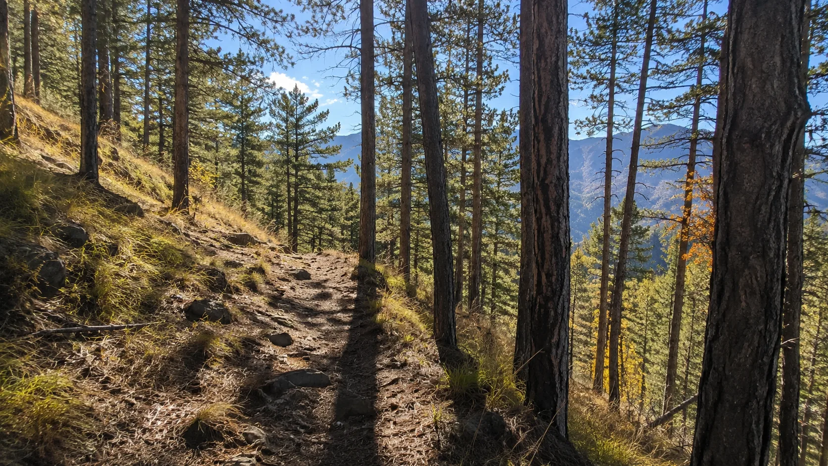
The Sentiero delle Guardie (Guards' Path) is a hiking trail that winds through the hills above Val della Torre, in the western Turin hinterland. The route takes its name from the ancient guard posts that guarded the roads to the Susa Valley. The trail passes through mixed forests and scenic clearings with views of the Turin plain and the Alpine chain. This medium-length route, suitable for hikers of all levels, combines historical and naturalistic interest in a quiet and uncrowded hilly setting.
Gallery
Navigate with QR Code
Scan with your smartphone to start guided navigation directly on the trail.
Trail QR Code
Frame the QR code to open the full navigation

Partenza
Km 0.00
trekking shoes, poles, water, rain jacket
For additional information, contact the local tourist office or the reference shelter for the trail.
45,12381, 7,41554

