
 T
T
Trail Map
Il tracciato completo con i punti di interesse. Puoi cambiare il tipo di mappa dal comando in alto a destra e attivare rifugi, fontane e parcheggi dal pannello a sinistra.
Elevation Profile
Description
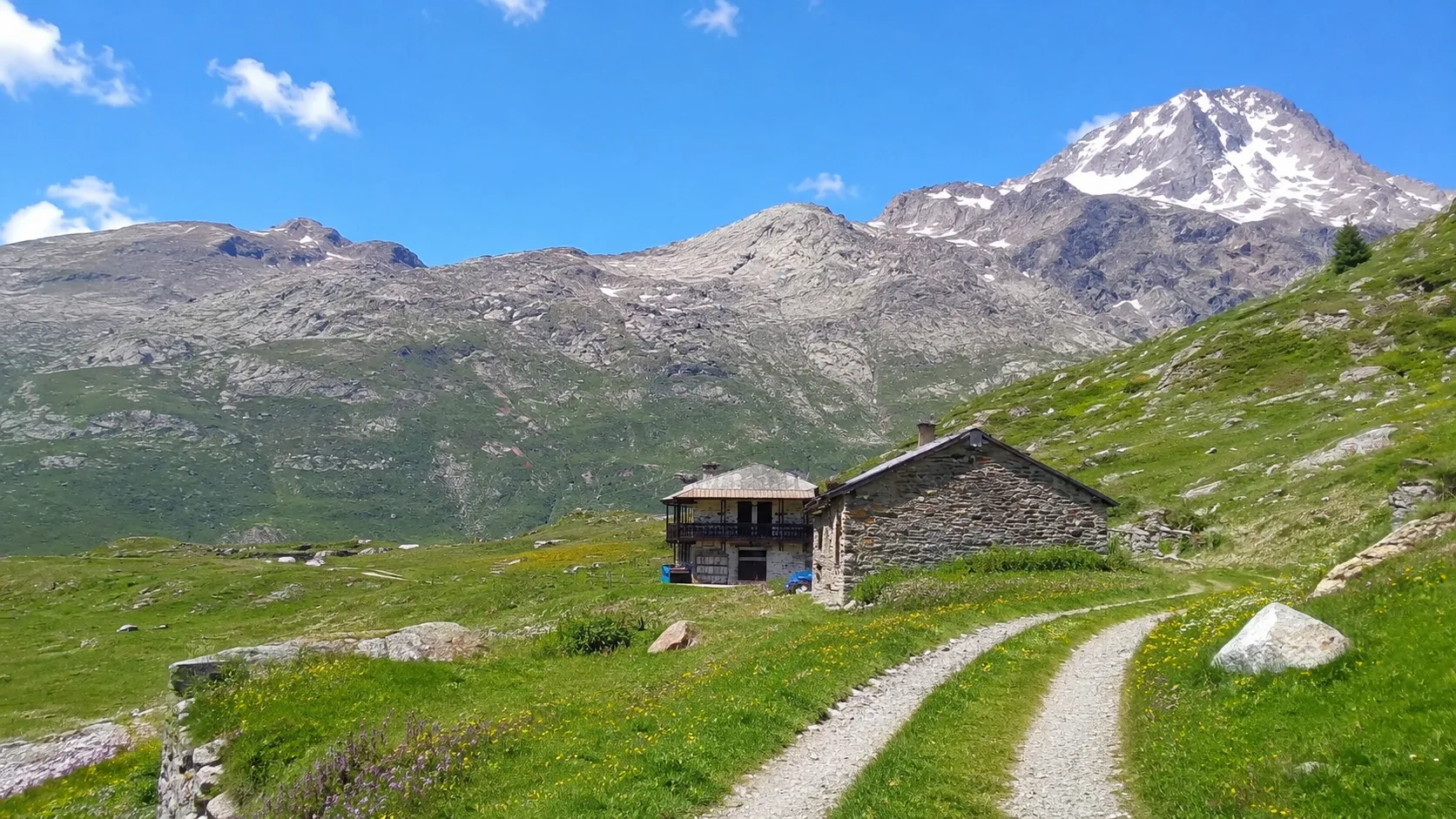
The Biolley trail is a hiking trail that winds through the Venaus area of the upper Susa Valley, passing through coniferous forests and alpine pastures. The route offers views of the valley and surrounding mountains, in a charming natural setting. Named after the hamlet of the same name, the trail traverses a mountain landscape characterized by ancient mule tracks and historic paths. This medium-difficulty itinerary allows you to discover the natural and cultural heritage of the upper Susa Valley.
Gallery
Navigate with QR Code
Scan with your smartphone to start guided navigation directly on the trail.
Trail QR Code
Frame the QR code to open the full navigation

Partenza
Km 0.00
comfortable shoes, water, sunscreen
For additional information, contact the local tourist office or the reference shelter for the trail.
45,18584, 6,98602

